What is recorded here
Logadoon is a scrub-covered ringfort in Limerick grassland, marked on maps since 1840 and still visible from above. It sits beside old Kilbreedy Church ruins, suggesting people lived, prayed and buried their dead around this simple earth circle for generations. The fort has no grand story preserved, but its shape implies defense, ownership and everyday routine long before records arrived.
In reclaimed grassland, immediately S of public road which marks townland boundary with Kilbreedy. Remains of Kilbreedy Church (LI048-007001-) and graveyard (LI048-007001-) immediately to NW. Annotated 'Logadoon' on 1840 ed. OSi 6-inch map. Depicted on 1897 ed. OSi 25-inch map as a circular-shaped area (diam. c. 32m) defined by a scarp with fosse. Scrub-covered earthwork visible on Digital Globe orthoimage taken between 2011-13.
See attached Google Earth orthoimages.
Compiled by: Caimin O'Brien
Date of upload: 26 November 2021
The monument record does not grant public access. Check the route and ask the landowner before entering private land.
- What survives
- Recorded monument
Places near here
 Grave YardGraveyard · 96 yd
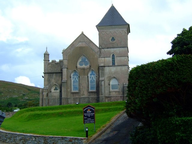 Kilbreedy Church (in ruins)Church · 105 yd
 ToberbreedyHoly well · 351 yd
 Teermore Househouse · 1199 yd
 Castle (in ruins)Castle, tower house · 1239 yd
 Bulgaden Castle (in ruins)Castle, tower house · 1.8 mi
 Ballinvreena LoopVisitor information · 2.7 mi
 Ballyhoura tourist informationVisitor information · 3.3 mi
 Edmund's WellSpring · 3.6 mi
 Palatine's RockNamed rock · 3.9 mi
 Ballyhoura WayWalking route · 4.2 mi
 SlievereaghMountain / peak · 4.3 mi