What is recorded here
No map from 1841 or 1909 ever marked the passage, yet a faint depression still cuts across the northeast quadrant of the Stooagh ringfort. The upland setting leaves no shadow for secrecy, suggesting the builders wanted the route hidden in plain sight rather than buried under soil. People may have walked that line when the world above turned hostile, using the earth itself as a room.
Not marked on the 1841 or 1909 editions of the OS 6-inch map. Situated in an upland area, with good visibility. A slight depression, visible in NE quadrant of ringfort (LA015-008001-) may indicate the line of a Man-made underground passage.
The above description is derived from the published 'Archaeological Inventory of County Laois' (Dublin Stationery Office, 1995) compiled by P. David Sweetman, Olive Alcock and Bernie Moran. In certain instances the entries have been revised and updated in the light of recent research.
Date of upload: 17 December 2007
The monument record does not grant public access. Check the route and ask the landowner before entering private land.
- What survives
- Recorded monument
Places near here
 IndicatedEnclosure · 727 yd
 Enclosure in Laughil (ballybrit By.)Enclosure · 1494 yd
 FarbreagueMountain / peak · 2.0 mi
 Saint Kieran's WellSpring · 2.3 mi
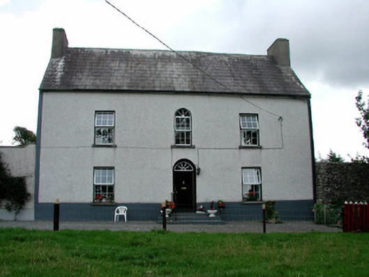 Summerhill Housefarm house · 2.3 mi
 St. Kierans Church Yd.Church · 2.4 mi
 Cloncourse CastleHouse, fortified house · 2.4 mi
 Ballaghmore CastleCastle, tower house · 2.5 mi
 ArderinMountain / peak · 3.7 mi
 European BeechEuropean Beech · 3.9 mi
 Millennium GardenMemorial · 4.0 mi
 European YewEuropean Yew · 4.0 mi