
What is recorded here
Situated on the NW facing slope on high ground in upland area overlooking valley and river to the North. Raised circular area (N-S diam 30m approx.) enclosed by a wide flat topped bank (Wth 2m; ext. H 1.7m) with external fosse visible at W (Wth 2m) only. Impossible to examine site interior due to dense vegetation.
The above description is derived from the published 'Archaeological Inventory of County Offaly' (Dublin: Stationery Office, 1997). In certain instances the entries have been revised and updated in the light of recent research.
Date of upload: 23 May 2011
The monument record does not grant public access. Check the route and ask the landowner before entering private land.
- What survives
- Recorded monument
Places near here
 Field system in Ballyduff (ballybrit By.)Field system · 824 yd
 Fulacht fia in Ballyduff (ballybrit By.)Fulacht fia · 932 yd
 Saint Kieran's WellSpring · 1.5 mi
 St. Kierans Church Yd.Church · 1.5 mi
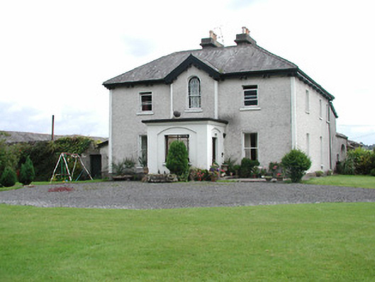 Killavilla Househouse · 1.7 mi
 Ballaghmore CastleCastle, tower house · 1.9 mi
 Cloncourse CastleHouse, fortified house · 2.2 mi
 FarbreagueMountain / peak · 2.8 mi
 European BeechEuropean Beech · 3.1 mi
 European YewEuropean Yew · 3.2 mi
 Millennium GardenMemorial · 3.2 mi
 Roscrea Petty Sessions HouseHeritage attraction · 4.1 mi
Other information
Photo: Credit not shown in the picture search · Rights wording not checked; contact us if this picture should be removed