
What is recorded here
Indicated was a living fort on a sunny Longford slope, large enough for dozens of people and marked as a fort before modern fields cut through it. Its earth bank and shallow ditch made a clear circle, but a new boundary line split the ring and later work buried the eastern part. The western curve still hints at the shape, preserving the size and purpose of a place that ordinary pasture has almost erased.
On a S-facing slope in pasture. Depicted as a D-shaped enclosure with the designation 'Fort' on the 1837 ed. of the OS 6-inch map. A report in 1975 (SMR file) recorded a raised circular area (diam. 45.5m) enclosed by a bank of earth and stone with fragmentary traces of an external fosse. The rath, which is divided into unequal portions by a NW-SE field boundary, has since been levelled. However, the outline of the larger portion, to the SW of the boundary, may still be traced. The NE portion is not visible at ground level.
Compiled by: Patrick F. O'Donovan
Date of upload: 18 January 2012
The monument record does not grant public access. Check the route and ask the landowner before entering private land.
- What survives
- Recorded monument
Places near here
 Fulacht fia in MullaghavorneenFulacht fia · 322 yd
 Burnt spread in MullaghavorneenBurnt spread · 330 yd
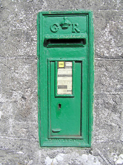 post boxpost box · 501 yd
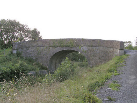 Knockanboy Bridgebridge · 744 yd
 Graveyard in Curry (ardagh By., Coolamber Ed)Graveyard · 1.1 mi
 First World War MemorialMemorial · 1.7 mi
 Saint Mel's CathedralCathedral · 1.8 mi
 Bawn in AbbeycartronBawn · 1.9 mi
 CastleCastle, tower house · 2.2 mi
 Commons North WalkVisitor information · 7.6 mi
 Wild birdsVisitor information · 7.7 mi
 White Sand WoodWood · 8.0 mi
Other information
Photo: Credit not shown in the picture search · Rights wording not checked; contact us if this picture should be removed