
What is recorded here
Visible on an aerial photograph (GSI N336, 337 (335)) as the cropmark of a small sub-rectangular enclosure (est. dims. L c. 20m ; Wth c. 10m).
Compiled by: Gearóid Conroy
Date of upload: 04 July 2012
The monument record does not grant public access. Check the route and ask the landowner before entering private land.
- What survives
- Recorded monument
Places near here
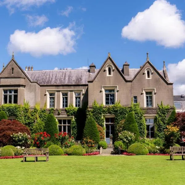 Enclosure in Stephenstown NorthEnclosure · 143 yd
 Font (present location) in Stephenstown NorthFont (present location) · 469 yd
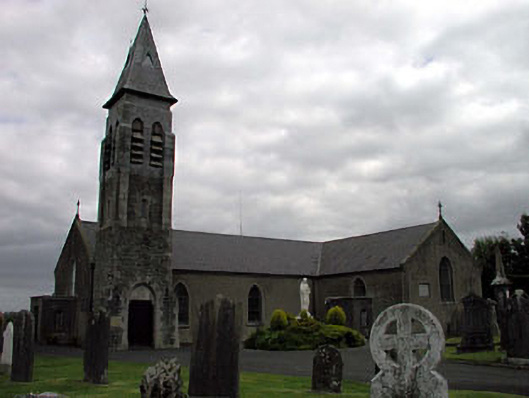 Saint Peter's Catholic Churchchurch/chapel · 502 yd
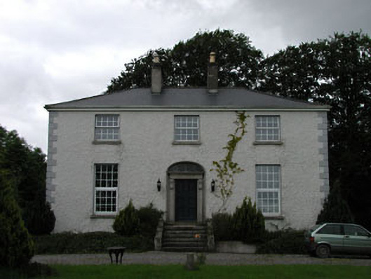 Dowdingstown Housefarm house · 1284 yd
 Site of CastleCastle, unclassified · 1.3 mi
 CastleCastle, unclassified · 1.8 mi
 Sillagh Bog WoodForest · 2.6 mi
 Poplar SquarePicnic place · 3.5 mi
 Newbridge SilverwareMuseum · 4.0 mi
 Monread District Park WoodsWood · 4.3 mi
 Councillor Jim MileyMemorial · 6.8 mi
 Proclamation of the Irish RepublicMemorial · 6.8 mi
Other information
Photo: Credit not shown in the picture search · Rights wording not checked; contact us if this picture should be removed