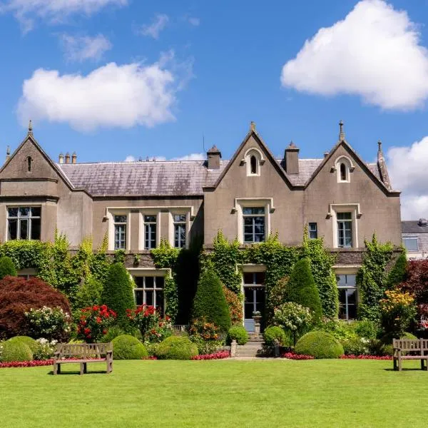
What is recorded here
Shown as a circular feature on Taylor's Map of County Kildare (1783). Aerial photographs (GSI N 376, 377) show the cropmarks of two widely spaced concentric fosses (est. int. diam. c. 40m; est. ext. diam. c. 80m). Possibly a ringfort, although multiple ringbarrows also occur in this part of Co. Kildare (eg. KD024-006---- and KD024-010----).
Compiled by: Gearóid Conroy
Date of upload: 12 June 2012
The monument record does not grant public access. Check the route and ask the landowner before entering private land.
- What survives
- Recorded monument
Places near here
 Font (present location) in Stephenstown NorthFont (present location) · 362 yd
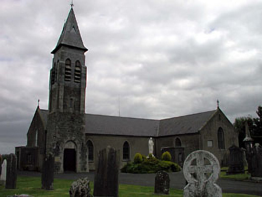 Saint Peter's Catholic Churchchurch/chapel · 406 yd
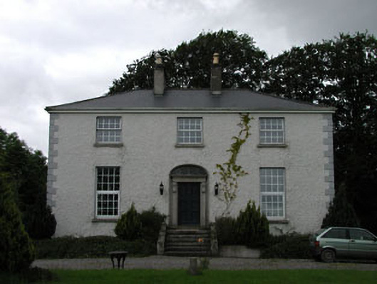 Dowdingstown Housefarm house · 1175 yd
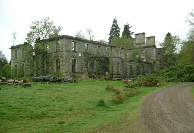 Enclosure in Stephenstown SouthEnclosure · 1462 yd
 Site of CastleCastle, unclassified · 1.3 mi
 CastleCastle, unclassified · 1.9 mi
 Sillagh Bog WoodForest · 2.6 mi
 Poplar SquarePicnic place · 3.6 mi
 Newbridge SilverwareMuseum · 3.9 mi
 Monread District Park WoodsWood · 4.4 mi
 Councillor Jim MileyMemorial · 6.9 mi
 Proclamation of the Irish RepublicMemorial · 6.9 mi
Other information
Photo: Credit not shown in the picture search · Rights wording not checked; contact us if this picture should be removed