What is recorded here
In mountain bog, on a SW-facing slope and 1.6m to SE of 'St Elba's Grave' (SL035-073002-). The 'station' house is a partially collapsed roofless roughly rectangular structure (int. dims. 2.9m NE-SW; 2m NW-SE) with walls of roughly coursed drystone rubble limestone (T 0.5m; max. H 2m). The entrance (Wth 1m) is at the NW end of the NE wall with a limestone slab (Wth 1.15m; H 0.9m; T 0.15m) that was used to block it still leaning against the NW side. The SW wall (T 1.3m) is thicker than the other walls and extends beyond the NW and SE corners of the structure by 0.4-0.65m. It also bulges halfway along its length suggesting a previous collapse and repair. 'Toberelba' holy well (SL035-073001-) is c. 10m to W.
The above description is derived from the published 'Archaeological Inventory of County Sligo' compiled by Ursula Egan, Elizabeth Byrne, Mary Sleeman with Sheila Ronan and Connie Murphy (Dublin Stationery Office, 2005).
Date of upload: 18 January 2008
Linked to St Elba, an early Irish saint associated with healing and local pilgrimage; the site reflects a tradition of holy wells and sacred graves in remote, natural settings, often connected to seasonal or votive rituals. The proximity of the well to the saint’s grave suggests a possible ritual use involving water from the well for curing ailments or spiritual purification.
The monument record does not grant public access. Check the route and ask the landowner before entering private land.
- What survives
- Recorded monument
Places near here
 Tobar Ailbhe Holy WellMemorial · 4 yd
 ToberelbaHoly well · 13 yd
 Dismantled Mine TramwayRuins · 1021 yd
 Sweat Ho. (Disused)Sweathouse · 1.1 mi
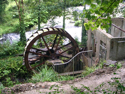 hydroelectric power stationhydroelectric power station · 1.7 mi
 Josie McDermott MemorialMemorial · 1.8 mi
 Black WoodForest · 2.0 mi
 Roundhouse Hill WoodForest · 2.2 mi
 Kilronan MountainMountain / peak · 2.5 mi
 Seltannasaggart SE SlopeMountain / peak · 2.6 mi
 Green IslandIslet · 2.8 mi
 Stony IslandIslet · 2.9 mi