What is recorded here
In level pastureland c. 25m to the N of a church (GA097-148001-) and graveyard (GA097-148003-). This standing stone consists of a smooth granite pillar stone (H 1.1m; max. Wth 1m; T 0.4m). It is subrectangular in plan with rounded corners and is aligned N-S. (Cody 1989, 165).
Compiled by: Galway Archaeological Survey, UCG
Date of upload: 18 December 2019
Likely dating to the late prehistoric or early historic period, this standing stone may have had a ritual or commemorative function, possibly linked to the nearby church and graveyard. Its smooth, shaped form suggests deliberate human activity, though specific folklore or symbolic meaning is not recorded.
The monument record does not grant public access. Check the route and ask the landowner before entering private land.
- What survives
- Recorded monument
Places near here
 IndicatedBawn · 417 yd
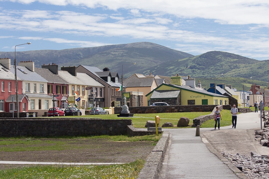 Quarry in CaherhenryhoeQuarry · 858 yd
 Man-made underground passage in CaherhenryhoeMan-made underground passage · 1025 yd
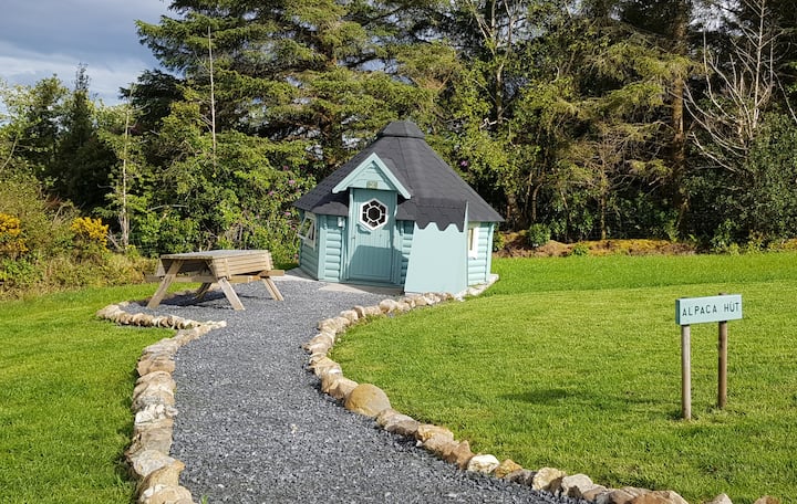 Hut site in Ballybaun (lackalea Ed)Hut site · 1152 yd
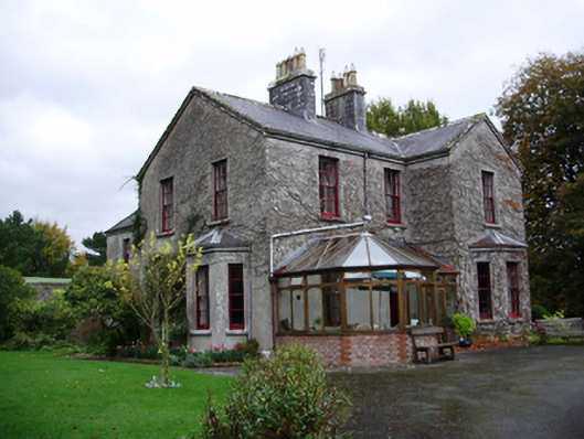 Tooluban Househouse · 1256 yd
 Bawn in Cahernamuck WestBawn · 1.4 mi
 Turoe StoneHeritage attraction · 1.9 mi
 Barrack IslandIslet · 3.4 mi
 Blake's IslandIslet · 3.4 mi
 Long PointHeadland · 4.3 mi
 Moyard WoodWood · 4.5 mi
 Scalpeen RockNamed rock · 8.3 mi