What is recorded here
On a slight rise, 130m SW of the hillock on which another standing stone (TS067-129----) is visible, in pasture. There is a stream in marshy ground c. 7m to the NW and the River Ara flows roughly N-S c. 170m to the ENE. Slievenamuck dominates the view SE-S-SW. A ringfort (TS067-028----) is located 124m to the ENE. This standing stone (0.43m x 0.25m; H 1.47m) is subrectangular in plan and is orientated NW-SE. The stone tapers towards the top (Wth 0.19m) which is raised and broader (Wth 0.31m) at the SE end. There is a hollow around the stone which has been caused by cattle poaching.
Compiled by: Jean Farrelly
Date of upload: 12 December 2012
The monument record does not grant public access. Check the route and ask the landowner before entering private land.
- What survives
- Recorded monument
Places near here
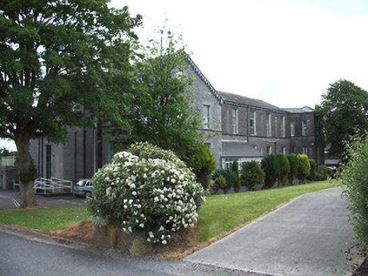 hospital/infirmaryhospital/infirmary · 622 yd
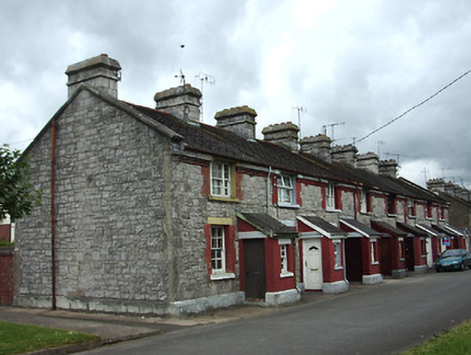 officer's houseofficer's house · 706 yd
 Site of AbbeyReligious house, Augustinian friars · 1290 yd
 Enclosure in Moanreagh (clonpet Par.)Enclosure · 1394 yd
 It's a long way to TippereryHeritage attraction · 1502 yd
 The Maid of ErinMemorial · 1516 yd
 CastleCastle, ringwork · 1.0 mi
 I.R.A. 3rd. Tipperary Brigade MemorialMemorial · 1.1 mi
 Cordangan Castle ruinsCastle · 1.1 mi
 The RockViewpoint · 1.7 mi
 Bansha ForestForest · 2.1 mi
 Christ the KingViewpoint · 2.3 mi