What is recorded here
A limestone slab (H c. 2.4m, Wth c. 1.1m, T c. 0.5m) situated within a henge-type enclosure (LA021-021001-).
Atop high ground with good views of undulating countryside. Church (LA021-010001-) and graveyard (LA021-010002-) in adjoining field to N. Nearby standing stone (LA021-023) in field to SE. Henge monument (LA021-021001-) that was converted into a motte and bailey (LA021-021002-) with standing stone in centre of henge. Situated within the bailey at Skirk. A limestone, rectangular shaped stone (H. c. 2.4m, W. c. 1.1m, T. c. 0.5m) with it slong axis orientated NE-SW. Traces of burials and urns (LA021-021007-) were found beside the standing stone in the bailey or henge (LA021-021001-) interior (JRSAI, Vol 34, 321).
The above description is derived from the published 'Archaeological Inventory of County Laois' (Dublin Stationery Office, 1995) compiled by P. David Sweetman, Olive Alcock and Bernie Moran. In certain instances the entries have been revised and updated in the light of recent research.
Date of upload: 17 December 2007
Probably dates to the Neolithic or Early Bronze Age, given its association with a henge-type enclosure, suggesting ritual or ceremonial use. Such stones may have marked territorial boundaries, aligned with celestial events, or served as focal points for local communities.
The monument record does not grant public access. Check the route and ask the landowner before entering private land.
- What survives
- Recorded monument
Places near here
 Moat of SkirkeCastle, motte and bailey · 22 yd
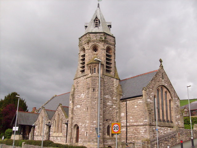 Church (in Ruins)Church · 127 yd
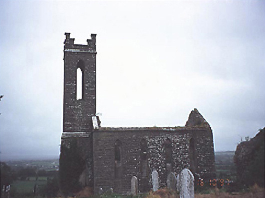 Skirk Churchchurch/chapel · 153 yd
 Enclosure in Newtown OR SkirkEnclosure · 645 yd
 EnclosureEnclosure, large enclosure · 880 yd
 Castle (in Ruins)Castle, tower house · 1721 yd
 Carricknasrock WoodWood · 3.5 mi
 Black HillMountain / peak · 3.9 mi
 European BeechEuropean Beech · 4.3 mi
 Saint Kieran's WellSpring · 4.8 mi
 Cnoc SeanrathaMemorial · 8.4 mi
 Eagle HillMountain / peak · 9.1 mi