
What is recorded here
Situated in pasture, with ringfort (LA021-024----) 70m to N. Partial outline of circular shaped area (approx. diam. 90m) defined by a fosse with traces of an outer enclosing element to NW visible on Google Earth orthoimage and on Digital Globe orthophoto taken 2011-13.
See attached Google Earth orthoimage taken 30/11/2009
Compiled by: Caimin O'Brien based on details provided by Jean-Charles Caillère
Date of upload: 12 November 2020
The monument record does not grant public access. Check the route and ask the landowner before entering private land.
- What survives
- Recorded monument
Places near here
 Enclosure in Newtown OR SkirkEnclosure · 247 yd
 Enclosure in Clonlahy Corporation LandEnclosure · 509 yd
 Moat of SkirkeCastle, motte and bailey · 894 yd
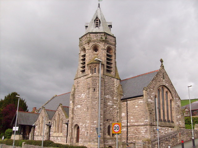 Church (in Ruins)Church · 918 yd
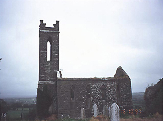 Skirk Churchchurch/chapel · 926 yd
 CastleCastle, unclassified · 1208 yd
 Carricknasrock WoodWood · 3.8 mi
 Black HillMountain / peak · 4.2 mi
 European BeechEuropean Beech · 4.8 mi
 Saint Kieran's WellSpring · 5.3 mi
 Cnoc SeanrathaMemorial · 7.9 mi
 College HillMountain / peak · 9.5 mi
Other information
Photo: Credit not shown in the picture search · Rights wording not checked; contact us if this picture should be removed