What is recorded here
The following description is derived from both the published 'Archaeological Inventory of County Louth' (Dublin: Stationery Office, 1986) and the 'Archaeological Survey of County Louth' (Dublin: Stationery Office, 1991). In certain instances the entries have been revised and updated in the light of recent research.
Date of upload/revision: 17 July 2007
Two standing stones formerly stood at the junction of the townlands of Hacklim and Millockstown. They were known respectively as 'Garrett's Stone' and 'The Horse's Head'. They were removed in the course of road-widening c. 1925, and one was broken up. The other stone (max. dims. L 2.2m, 0.6m square in section) now lies in the roadside ditch. (CLAJ 1950, 125-6)
The monument record does not grant public access. Check the route and ask the landowner before entering private land.
- What survives
- Recorded monument
Places near here
 Enclosure in MillockstownEnclosure · 512 yd
 Fairy fort / earthen ringfort in MillockstownFairy fort / earthen ringfort · 844 yd
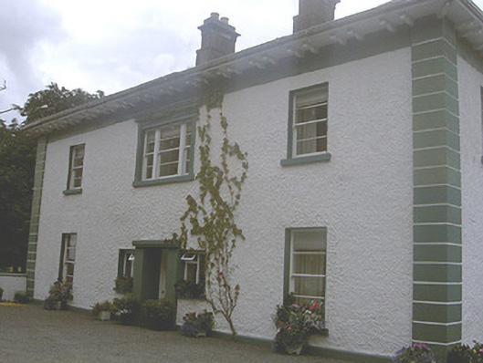 Roestown Househouse · 939 yd
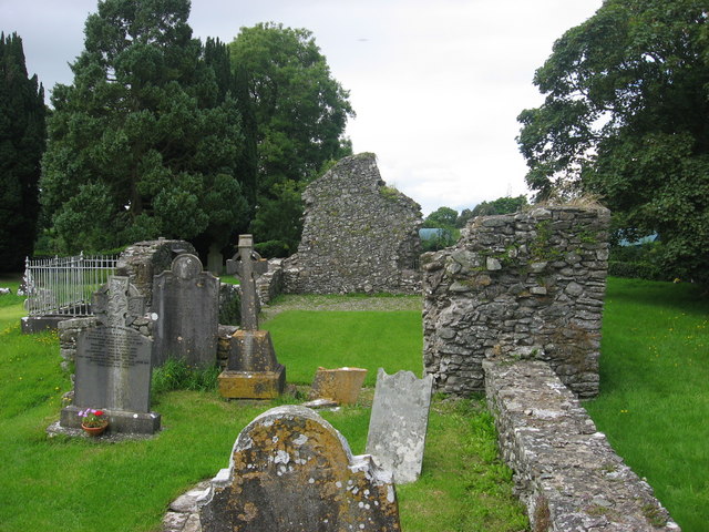 Kildemock Church (in ruins)Church · 985 yd
 Not idicatatedCastle, unclassified · 1.3 mi
 Graveyard in StickillinGraveyard · 1.8 mi
 Dawsons MoatCastle, motte and bailey · 1.9 mi
 European White ElmEuropean White Elm · 2.2 mi
 Sir Frederick Foster MemorialMemorial · 2.3 mi
 Monterey CypressMonterey Cypress · 2.7 mi
 Mount OrielMountain / peak · 2.8 mi
 Black HillMountain / peak · 3.7 mi