What is recorded here
In pasture in the centre of a large field at the NE tip of Lough Gur which lies 350m ti SW. A standing stone annotated 'Leagaun' (Site R; LI032-050----) lies 75m to SE and the Early Medieval settlement site known as the Spectacles (LI032-014012-) lies 340m to WSW, a standing stone also known as 'Leagaun' (Site S; LI032-048----) is located 260m to N.
The standing stone (LI032-049----) is not shown on OSi historic maps, and it is not visible on OSi orthoimage taken 2005-12 or on Digital Globe orthoimages taken 2011-2013. The standing stone was described by O’Kelly (1944, 29) as, ‘a well weathered limestone pillar 3’ 3” [0.99m] high, and 1’ 10” [0.56m] at the base.’ O’Kelly noted that it is an addition to a group of standing stones recorded by Windle (1912, Plate XXIII). Grogan (1989, Vol. 2, 271) attached the site name ‘Lough Gur 7’ to the monument within his PhD thesis. The location of the site is visible on Google Earth orthoimages taken 28/06/2018 and 20/09/2020. The standing stone does not appear to survive above ground level.
See attached Google Earth orthoimages
Compiled by: Edmond O’Donovan
Date of upload: 16 November 2020
The monument record does not grant public access. Check the route and ask the landowner before entering private land.
- What survives
- Recorded monument
Places near here
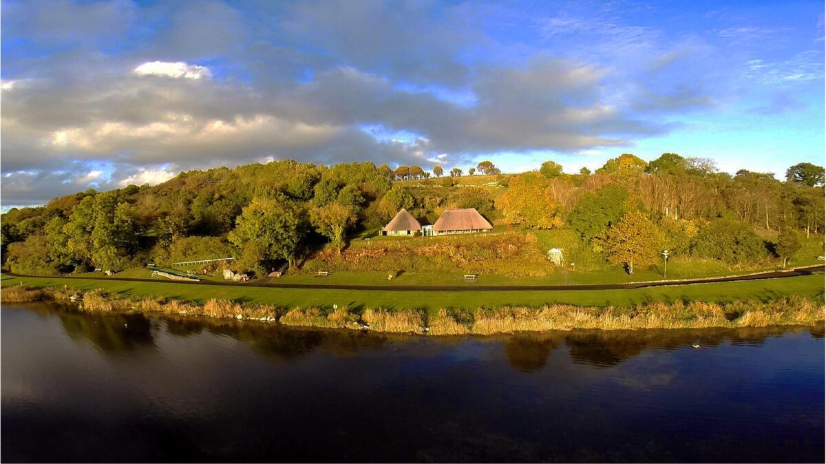 Hut site in LoughgurHut site · 359 yd
 Lough Gur Heritage CentreVisitor information · 360 yd
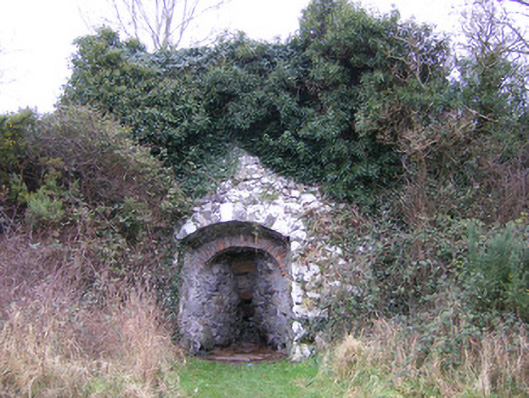 kilnkiln · 369 yd
 Kistvaen FieldFlat cemetery · 372 yd
 The SpectaclesVisitor information · 397 yd
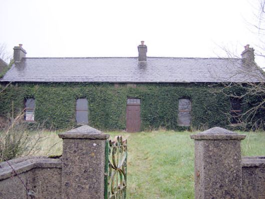 Lake Viewhouse · 537 yd
 Pedunculate OakPedunculate Oak · 647 yd
 OultinedBawn · 1225 yd
 Black Castle (in ruins)Castle, tower house · 1293 yd
 Grange Stone CircleArchaeological place · 1.3 mi
 Lough GurVisitor information · 1.3 mi
 Banoge's WellSpring · 2.3 mi