What is recorded here
In 1981 the ASI recorded the presence of a possible standing stone situated on the NE bank of a ring-barrow (WM011-026----) which the fieldworker suggested may have 'been erected in this spot as a scratching post for cattle. The standing stone is a limestone slab, 2m high, uniformly 10-15cm thick, and lying or leaning at an angle of 25 degrees to the SW' (SMR Report 15/06/1981). A field survey of this ring-barrow (WM011-026----) by McGuinness in 2012 does not mention the presence of standing stone on the NE bank of the monument which suggests that the stone may have been removed.
Compiled by: Caimin O'Brien.
Date of upload: 15 April 2016
The monument record does not grant public access. Check the route and ask the landowner before entering private land.
- What survives
- Recorded monument
Places near here
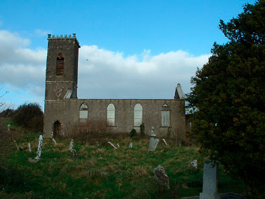 Bunbrosna Church (Leny)church/chapel · 211 yd
 Ecclesiastical enclosure in LenyEcclesiastical enclosure · 237 yd
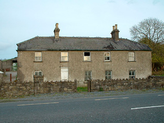 Leny Cottagehouse · 509 yd
 Partially indicatedFairy fort / earthen ringfort · 1078 yd
 Carrick CastleCastle · 1200 yd
 Castle Quarter, Castle (in ruins)Castle, unclassified · 1658 yd
 Bridge Memorial (Kenna)Memorial · 2.0 mi
 Baronstown ForestWood · 3.2 mi
 Horse-chestnutHorse-chestnut · 3.3 mi
 Carrickphilbin IslandIslet · 3.4 mi
 Srudarra IslandIslet · 4.0 mi
 Rock of CurryCliff · 9.4 mi