What is recorded here
Thirty-two metres east of the stone alignment, the rectangular marker still points northeast and southwest across open bogland. It stands seventy-five centimetres tall, small enough to touch yet placed where the land drops away in every direction. Perhaps people read that alignment during storms, perhaps they simply watched the horizon change colour above the wet earth.
In bogland with commanding views in every direction. Rectangular stone aligned NE-SW (H 0.75m; 0.58m x 0.46m). Stone alignment (CO107-01102-) 32m to W.
The above description is derived from the published 'Archaeological Inventory of County Cork. Volume 1: West Cork' (Dublin: Stationery Office, 1992). In certain instances the entries have been revised and updated in the light of recent research.
Date of upload/revision: 14 January 2009
The monument record does not grant public access. Check the route and ask the landowner before entering private land.
- What survives
- Recorded monument
Places near here
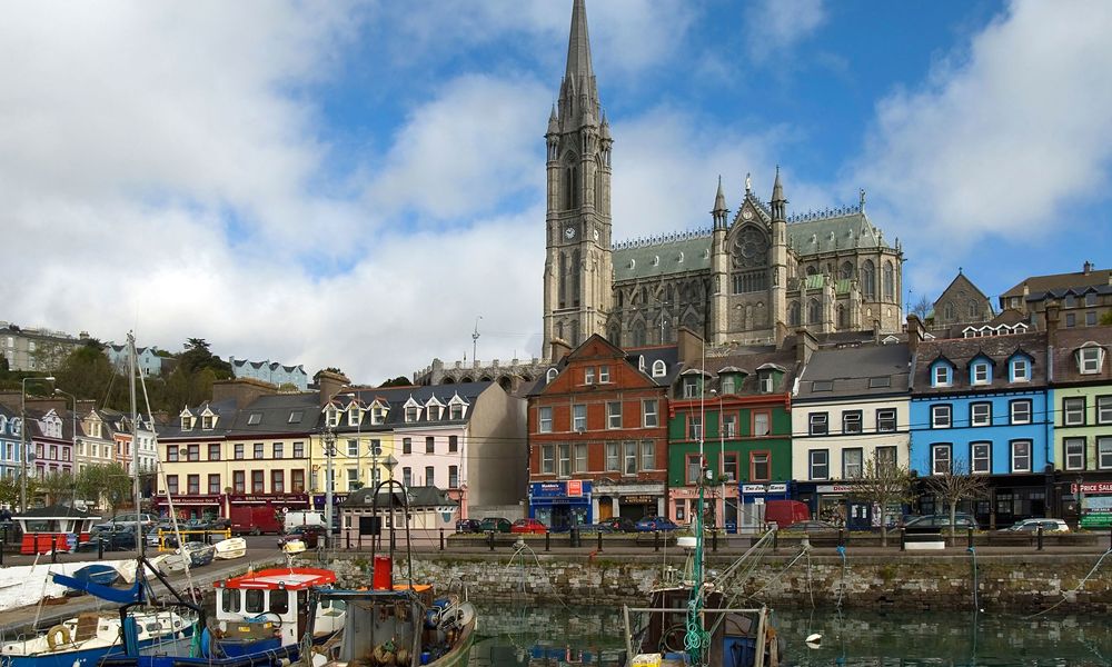 IndicatedFairy fort / stone ringfort · 184 yd
 Man-made underground passage in DromdrasdilMan-made underground passage · 625 yd
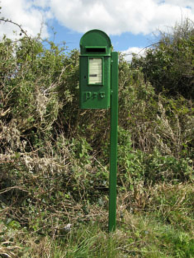 post boxpost box · 1069 yd
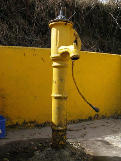 water pumpwater pump · 1270 yd
 Togher CastleCastle, tower house · 1.5 mi
 Pookeen North TopMountain / peak · 2.5 mi
 Nowen HillMountain / peak · 2.9 mi
 Funmanway Adventure LandHeritage attraction · 3.0 mi
 Castle (Site of)Castle, Anglo-Norman masonry castle · 3.3 mi
 Dunmanway Heritage CentreVisitor information · 3.5 mi
 Graveyard in Dunmanway NorthGraveyard · 3.6 mi
 Gortnahoughtee Mass RockNamed rock · 4.1 mi