What is recorded here
Located on a fairly steep W and SW-facing slope with the S-N Ballycanvan stream c. 120m to the W. This is a block of Old Red Sandstone conglomerate with a rectangular cross-section (dims. of base 1-1.2m x 0.9-1m) aligned NE-SW, and its greatest height (H 2.7m) is achieved at the W corner. It is leaning slightly to the NW.
Compiled by: Michael Moore
Date of upload: 22 August 2012
The monument record does not grant public access. Check the route and ask the landowner before entering private land.
- What survives
- Recorded monument
Places near here
 Burnt mound in BallynabolaBurnt mound · 134 yd
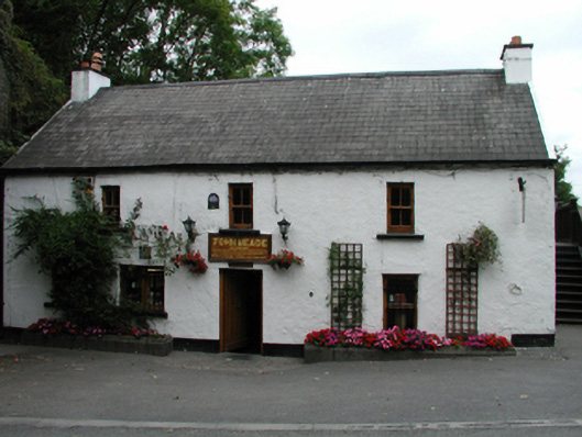 John Meadehouse · 388 yd
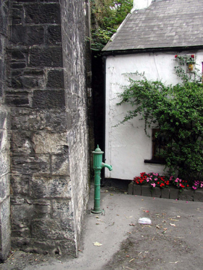 water pumpwater pump · 396 yd
 Castle (in ruins)Castle, tower house · 537 yd
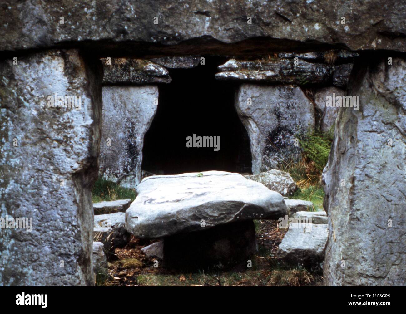 Druids AltarMegalithic structure · 980 yd
 Ballinakill WoodsWood · 1.2 mi
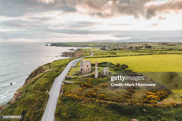 MoteCastle, motte · 1.4 mi
 Monterey CypressMonterey Cypress · 2.1 mi
 Minaun HillMountain / peak · 2.2 mi
 The MinaunViewpoint · 2.2 mi
 Memory of the crew of "Rescue 111"Memorial · 6.7 mi
 Mount Congreve GardensHeritage attraction · 7.7 mi