What is recorded here
Marked as a standing stone on a revised OS 25-inch map, and situated on the lower S-facing slope of Tara Hill. It was recorded in 1940 as a rectangular stump (dims c. 1.95m E-W; c. 0.6m N-S; H c. 0.75-1m) (OSFM). It was removed in the 1970s.
The above description is derived from the published 'Archaeological Inventory of County Wexford' (Dublin: Stationery Office, 1996). In certain instances the entries have been revised and updated in the light of recent research.
Compliled by: Michael Moore
Date of upload/revision: 22 November, 2012
Likely dating to the Neolithic or Bronze Age, this standing stone may have had ceremonial or territorial significance, given its proximity to Tara Hill, a major archaeological and ceremonial site. No specific folklore or use is recorded for this stone.
The monument record does not grant public access. Check the route and ask the landowner before entering private land.
- What survives
- Recorded monument
Places near here
 CopseFairy fort / earthen ringfort · 128 yd
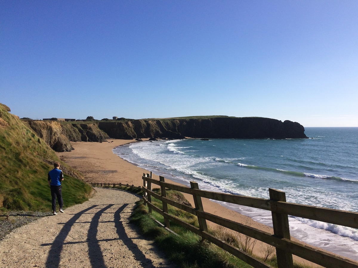 TobercavanHoly well · 1146 yd
 Tara HillMountain / peak · 1161 yd
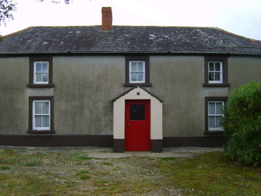 farm housefarm house · 1219 yd
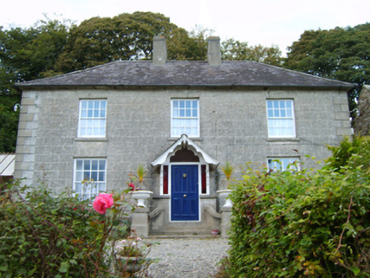 Middleton Lodgefarm house · 1301 yd
 CastleCastle, unclassified · 1492 yd
 Kia Ora Mini FarmHeritage attraction · 1.5 mi
 Duffcarrig Rocks BeachBeach / strand · 2.1 mi
 Holm OakHolm Oak · 2.7 mi
 Courtown WoodsWood · 2.8 mi
 Market HouseHeritage attraction · 3.0 mi
 1798 MonumentMemorial · 3.4 mi