What is recorded here
Fairy forts are not fantasy, they are memory. The field has forgotten its shape, but the mountain still points at it. What was built to be seen may have been erased to stop being watched.
In level pasture, commanding extensive view to N across Blackwater River valley and W to Mount Hillary. Depicted as hachured circular enclosure (diam. c. 30m) on 1842 OS 6-inch map. Levelled; no visible surface trace. One of two levelled, single-ramparted ringforts (CO032-085---) recorded by Bowman (1934, 586) on W. Mullane's land.
The above description is derived from the published 'Archaeological Inventory of County Cork. Volume 4: North Cork' (Dublin: Stationery Office, 2000). In certain instances the entries have been revised and updated in the light of recent research.
Date of upload/revision: 14 January 2009
The monument record does not grant public access. Check the route and ask the landowner before entering private land.
- What survives
- Recorded monument
Places near here
 Church in SmithfieldChurch · 259 yd
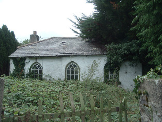
 Fulacht fia in SmithfieldFulacht fia · 296 yd
 Enclosure in GlantaneEnclosure · 340 yd
 surgery/clinicsurgery/clinic · 849 yd
 Dromaneen CastleHeritage attraction · 1.6 mi
 Gurteenkreen Castle (Site of)Castle, unclassified · 3.2 mi
 Mount HillaryMountain / peak · 4.0 mi
 Lohort CastleCastle, tower house · 4.1 mi
 In loving memory of Elvis O'DonoghueMemorial · 4.2 mi
 Mount Hillary - Knightfield LoopWalking route · 4.5 mi
 Mount Hillary - Mount Hillary LoopWalking route · 4.6 mi
 Graveyard in Ballygiblin (duhallow By.)Graveyard · 5.2 mi