What is recorded here
Rathmulcah Fort is an archaeological place in County Sligo, Ireland. The circular earthwork on a low ridge above the River Moy estuary has a 66 metre platform, a 5.3 metre high inner bank, an eight to nine metre wide outer ditch, a second outer bank, an eastern causewayed entrance and an underground chamber inside the enclosure. Later farming flattened part of the outer bank and filled part of the ditch, but the entrance alignment and double earthworks remain. The name Rathmulcah develops from Rath Maolchatha, recorded in 1836.
Rathmulcah Fort is recorded as a archaeological place in County Sligo. Its open map record supplies this location and any linked names or public references.
Places near here
 Rathmulcah FortFairy fort / earthen ringfort · 2 yd
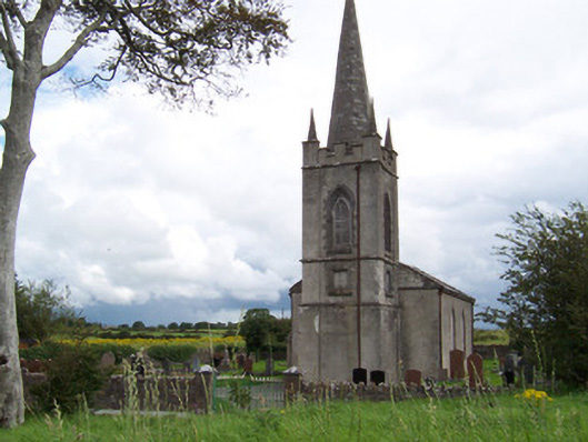 Killanly Church (Castleconor)church/chapel · 249 yd
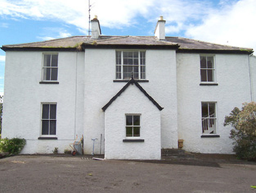 Moysdalerectory/glebe/vicarage/curate's house · 321 yd
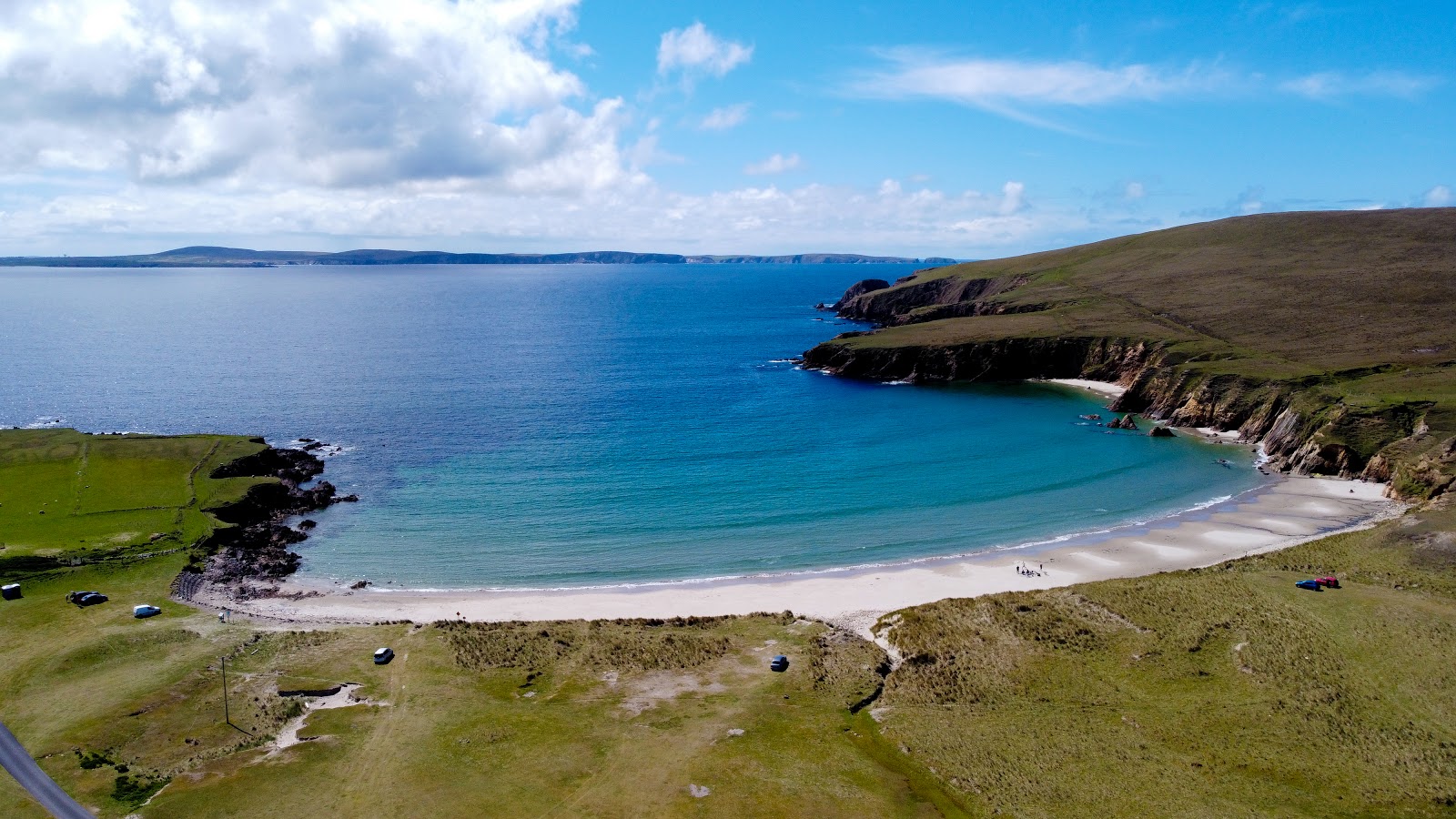 IndicatedFairy fort / earthen ringfort · 892 yd
 Rosserk AbbeyHeritage attraction · 1241 yd
 HawthornHawthorn · 1368 yd
 Castleconnor (in Ruins)Castle, hall-house · 1428 yd
 Rinnachurry PointHeadland · 1.0 mi
 Rinphilip PointHeadland · 1.3 mi
 Goose IslandIslet · 1.4 mi
 CastleCastle, unclassified · 1.4 mi
 Grave of the Black PigArchaeological place · 2.4 mi