What is recorded here
In tillage, cropmark of circular-shaped area (diam. c. 44m) defined by a ditch visible on Apple Maps imagery.
Compiled by: Matt Kelleher based on details provided by Jean-Charles Caillère
See attached image
Date of upload/revision: 05 April 2022
The monument record does not grant public access. Check the route and ask the landowner before entering private land.
- What survives
- Recorded monument
Places near here
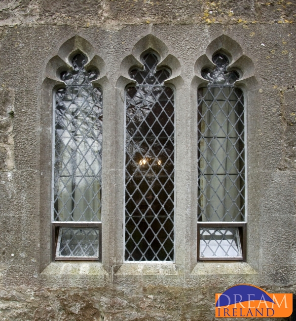 Enclosure in CastletownrocheEnclosure · 232 yd
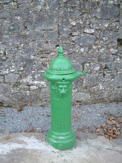 water pumpwater pump · 399 yd
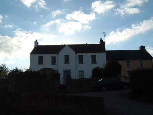 Riverview Househouse · 443 yd
 Grave YdGraveyard · 657 yd
 Anne's Grove GardensHeritage attraction · 1.3 mi
 Shanballymore Castle (Site of)Castle, unclassified · 2.5 mi
 Monanimy CastleCastle, tower house · 2.6 mi
 Blackwater (Avondhu) WayWalking route · 3.1 mi
 Priest's WoodForest · 3.7 mi
 Johnson's WoodForest · 4.0 mi
 Knocknaskagh North TopMountain / peak · 4.4 mi
 Flat cemetery in Ballyenahan NorthFlat cemetery · 4.7 mi