What is recorded here
Fairy fort in Sleehaun, County Longford: a 33m earthen ring on a low pasture ridge, its shallow fosse and worn bank still drawing the eye around a hidden middle. Cows graze beside it, children may have circled it at dusk, and people probably lived inside or feared what it covered. The northwest gap suggested in 1976 gives the circle a door, turning an ordinary field into a place that remembers being entered.
On a low ridge in pasture. A raised circular area (diam. c. 33m) enclosed by a low bank of earth and stone (Wth 2.6-3.4m; H 0.2-0.4m) with a shallow external fosse (Wth c. 4m; D 0.35m). A report in 1976 (SMR file) suggested that the original entrance may have been at NW.
Compiled by: Patrick F. O'Donovan
Date of upload: 26 August 2011
The monument record does not grant public access. Check the route and ask the landowner before entering private land.
- What survives
- Recorded monument
Places near here
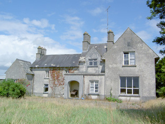 Sleehaun Househouse · 606 yd
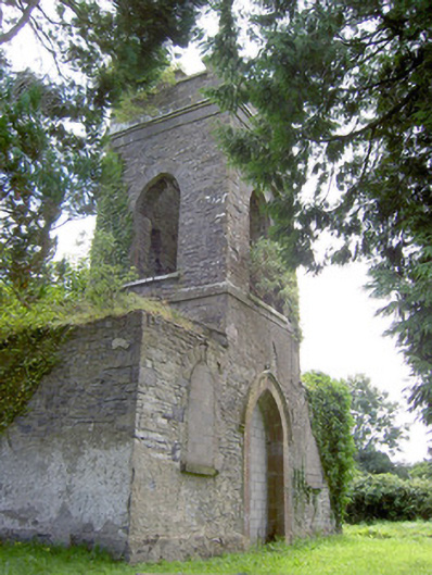 Saint Anne's Church (Kilglass)church/chapel · 1344 yd
 IndicatedEnclosure · 1521 yd
 Ecclesiastical enclosure in Killeen (ardagh By.)Ecclesiastical enclosure · 1.1 mi
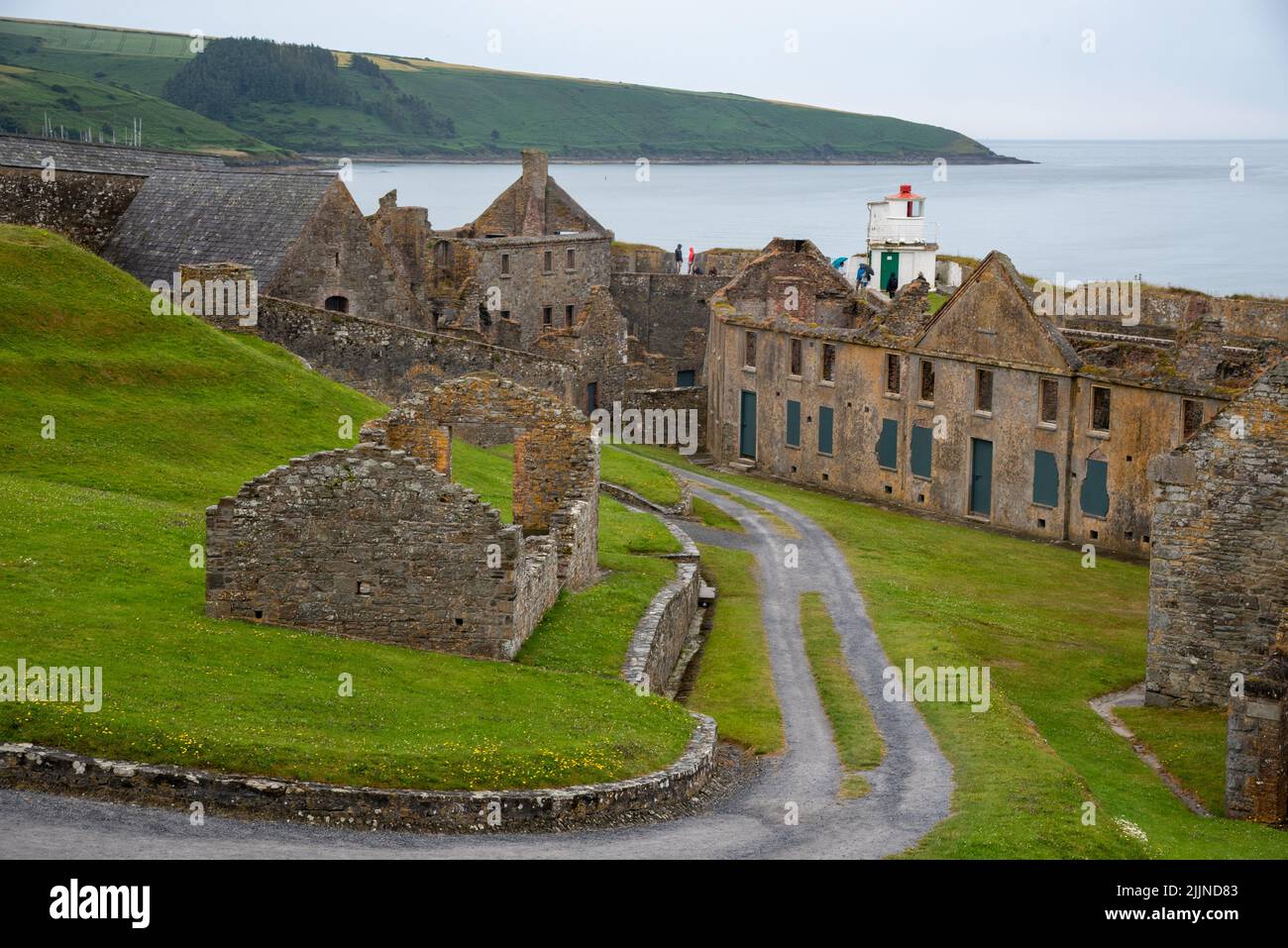 Fort, MoataphucaCastle, motte · 1.4 mi
 Pedunculate OakPedunculate Oak · 1.7 mi
 MoatCastle, motte · 1.9 mi
 Common AlderCommon Alder · 2.2 mi
 Edgeworthstown BypassMemorial · 3.5 mi
 Abbeyshrule AbbeyRuins · 4.6 mi
 National Famine WayWalking route · 4.9 mi
 Graveyard in Curry (ardagh By., Coolamber Ed)Graveyard · 7.9 mi