What is recorded here
Located on a rise in an undulating landscape with rock outcrop. A circular enclosure (diam. c. 20m) was first noted by G. F. Mitchell in 1990 and is visible on OSI aerial images (1995). It was brought to attention again by Conor Brady and is traceable on the ground as a grass-covered area defined by a slight earthen bank (H c. 0.2m).
Compiled by: Michael Moore
Date of upload: 28 May 2018
The monument record does not grant public access. Check the route and ask the landowner before entering private land.
- What survives
- Recorded monument
Places near here
 Enclosure in SlaneEnclosure · 62 yd
 CrossCross, High cross (present location) · 419 yd
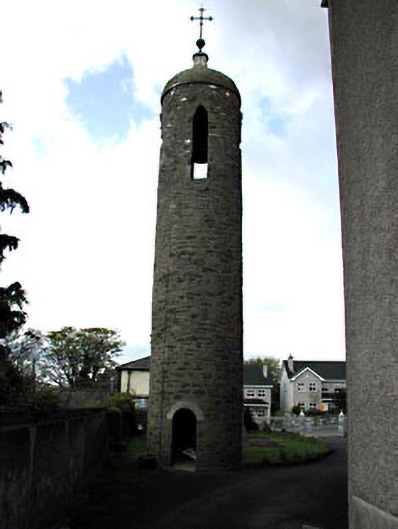 Saint Patrick's Catholic Churchbell tower/stand · 425 yd
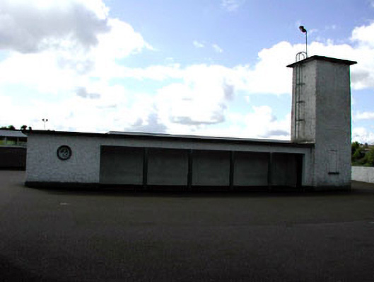 Saint Patrick's National Schoolwater tower · 430 yd
 Pat's Art StudioGallery · 503 yd
 RiverviewMemorial · 645 yd
 Mountcharles ClumpWood · 834 yd
 Drive WoodWood · 1001 yd
 MoatCastle, motte · 1148 yd
 Fennor CastleCastle · 1211 yd
 KnowthArchaeological place · 1.9 mi
 Brú na Bóinne Visitors CentreVisitor information · 3.7 mi