
What is recorded here
Irish soldiers buried a living church under earth and stone, then fled before Mackay’s red coats even reached the rampart. They left behind a empty trap, not a defeated army, and the sudden silence made the fort feel less like war and more like a joke told at the end of the world. Williamite soldiers walked through the gate without fighting, took the neighbouring forts, and waited for Limerick to admit defeat. The church disappeared into military usefulness, yet its shape may still show through the quiet lines of the burial ground, waiting for someone to remember what was lost before the battle began.
This fort built around the site of the church (LI005-029001-) on Singland Hill in 1691. Between the lifting of the first siege of Limerick in 1690 (see LI005-017183-) and the starting of the second a year later the defending Jacobite forces improved and upgraded the defences of the city. On the return of the Williamites in August 1691 the chronicler, George Story, records that the defenders had refortified the various forts, including Ireton’s Fort (LI005-113----) and Cromwell’s Fort (LI005-028----) and had ‘built another some distance to the right, where formerly stood an old church, and a third was begun also with a line of communication from one to the other, but not as yet finished’ (1693, 187). On the 25 August ‘When the greatest part of our army was got up, our detached body of foot, under the Command of Lieut. Gen. Mackay, was ordered to attack Ireton’s Fort, and the old Church-Fort, where we expected the enemy had lodged a party; our men made a line cross the fields, and were sustained by several entire regiments of foot and a body of horse. We advanced towards both the forts at one time, and found the upper one deserted.’ (ibid;, 187-9). They proceeded to take Ireton’s Fort and later that evening also took Cromwell’s Fort. The siege works were now controlled by the Williamites and the city eventually surrendered, the commanders signing the infamous ‘treaty’ of capitulation on 3 October. The Williamites withdrew their army from the various outworks and forts and left a garrison in the town.
The fort is shown on the map of the siege published by Story (1693, facing 224) but is not recorded as such on any of the 18th century or later maps of the city though it is possible that the outline of this work may be reflected in the regular shape of St Patrick’s Burial Ground (LI005-029002-).
Compiled by: Paul Walsh
Date of upload: 28 February 2018
The monument record does not grant public access. Check the route and ask the landowner before entering private land.
- What survives
- Recorded monument
Places near here
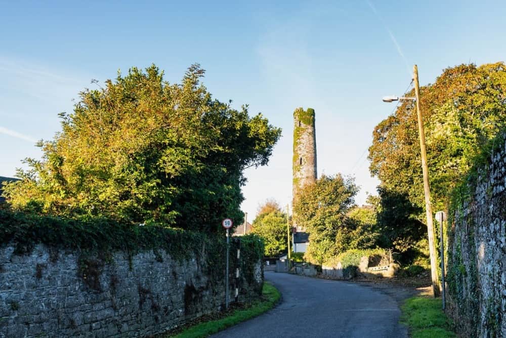 Round Tower (Site of)Castle, tower house · 24 yd
 St. Patrick's WellSpring · 269 yd
 Not shownRoad, road/trackway · 293 yd
 John O'Grady Monumentmonument · 473 yd
 Grave YardGraveyard · 728 yd
 Sarsfield Memorialmonument · 1182 yd
 SarsfieldMonument · 1184 yd
 Grove IslandIslet · 1521 yd
 CastleCastle, ringwork · 1629 yd
 Siege of Limericksiege · 1721 yd
 The Singer from QuimperMemorial · 1747 yd
 Hunt MuseumMuseum · 1.0 mi
Other information
Photo: Credit not shown in the picture search · Rights wording not checked; contact us if this picture should be removed