What is recorded here
On the grounds of Sheastown Lodge. Indicated as a sub-oval area (dims. c. 33m N-S; c. 36m E-W) planted with trees on the 1st (1839) ed. OS 6-inch map and indicated as an oval tree plantation (dims. c. 40m N-S; c. 60m E-W) on the 1899-1903 revision of this map, which forms part of a larger plantation extending to the NW. Several other irregularly shaped tree plantations are dotted around the estate, including another semi-oval one (KK024-005----) c. 90m to the SSE.
Compiled by: Jean Farrelly
Date of upload: 15 September 2021
The monument record does not grant public access. Check the route and ask the landowner before entering private land.
- What survives
- Recorded monument
Places near here
 Sheastown Househouse · 505 yd
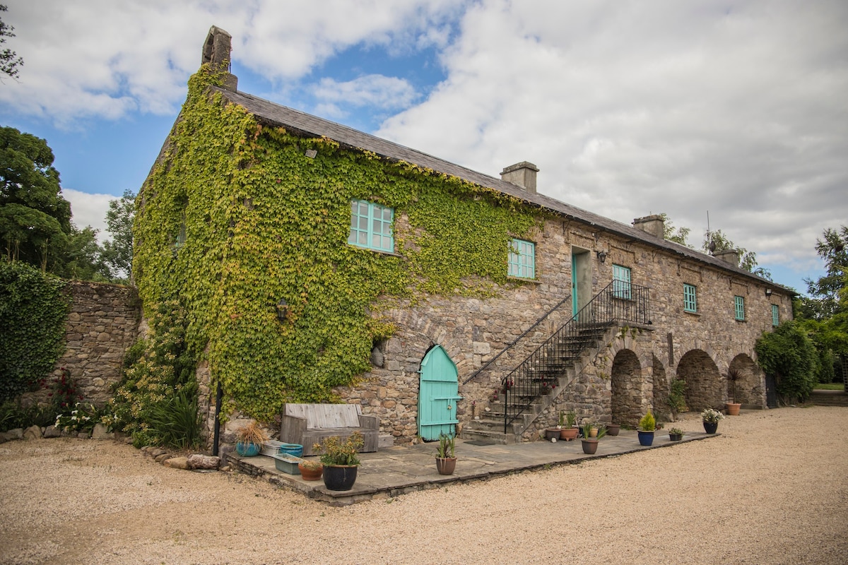 Enclosure in SheastownEnclosure · 631 yd
 CastleCastle, unclassified · 714 yd
 Concentric enclosure in WallsloughConcentric enclosure · 755 yd
 Church in WallsloughChurch · 918 yd
 Kilkenny AirsoftHeritage attraction · 1133 yd
 Dunbell Big RingfortWood · 1321 yd
 Castle (in ruins)Castle, unclassified · 1.1 mi
 O'Gorman's Lane LoopWalking route · 1.3 mi
 Time CapsuleMemorial · 1.4 mi
 MarlowWood · 2.5 mi
 Jamie BroderickMemorial · 3.0 mi