
What is recorded here
Indicated on the 1st (1839) ed. OS 6-inch map and on the 1899-1902 revision as a roughly circular enclosure (diam. c. 73m). A field boundary running roughly E-W along the N side of the monument kink out slightly respecting the curving perimeter of the enclosure. The monument has been levelled but is visible as a cropmark on aerial photographs (GB96.FW.15, 20 July 1996; ASIAP (18) 7-10, 2 August 1996; ASIAP (105) 15-20, 22 July 2000; ASIAP (273) 18, 2 December 2001). Also visible on these aerial photographs is an inner concentric enclosure (diam. c. 34m) with a well-defined SE-facing entrance. The inner and outer fosse are c.14-20m apart. A large curvilinear enclosure (KK024-123----) is also visible as a cropmark c. 10m to the SW and may be part of an associated field system.
See attached:
KK024-007----_01 aerial photograph (ASIAP (18) 9, 2 August 1996)
Compiled by: Jean Farrelly
Date of revised upload: 21 September 2021
The monument record does not grant public access. Check the route and ask the landowner before entering private land.
- What survives
- Recorded monument
Places near here
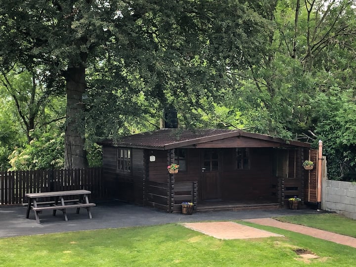 Enclosure in WallsloughEnclosure · 120 yd
 Church in WallsloughChurch · 182 yd
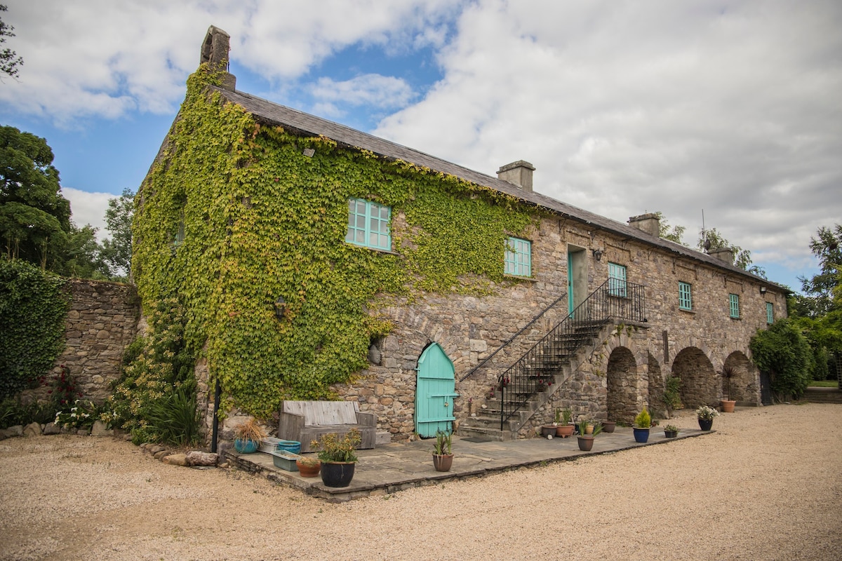 Enclosure in SheastownEnclosure · 849 yd
 Sheastown Housegates/railings/walls · 1017 yd
 Kilkenny AirsoftHeritage attraction · 1131 yd
 Castle (in ruins)Castle, unclassified · 1190 yd
 CastleCastle, unclassified · 1423 yd
 Dunbell Big RingfortWood · 1.0 mi
 Time CapsuleMemorial · 1.2 mi
 O'Gorman's Lane LoopWalking route · 1.3 mi
 Black WalnutBlack Walnut · 1.7 mi
 Danesfort CrossMemorial · 2.3 mi
Other information
Photo: Credit not shown in the picture search · Rights wording not checked; contact us if this picture should be removed