What is recorded here
Not a fairy fort but a human ring, a circular embankment about twenty-five metres wide on a low hill in Shannongrove, drawn on the 1923 map and still present beneath conifers and briars. It may have been a farmhouse, a boundary marker, a childhood climbing place or a forgotten ritual edge. The names changed while the shape stayed visible, which is more honest than inventing a date or owner.
In pasture, on NE-facing slope immediately below brow of low hill. Monument, depicted as embanked circular enclosure (diam. c. 25m) on 1923 OS 6-inch map, is now contained within fenced-off area which is covered by coniferous trees with dense impenetrable undergrowth of briars and scrub.
Compiled by: Denis Power
Date of upload: 26 August 2011
The monument record does not grant public access. Check the route and ask the landowner before entering private land.
- What survives
- Recorded monument
Places near here
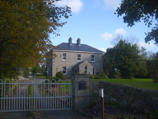 Dromaher Househouse · 436 yd
 Icehouse in ShannongroveIcehouse · 455 yd
 Shannongrove Housecountry house · 484 yd
 Sweet ChestnutSweet Chestnut · 547 yd
 Old Wind MillWindmill · 875 yd
 Ringmoylan PierVisitor information · 1589 yd
 Bawn in Castletown (kenry By.)Bawn · 1.5 mi
 Shanpallas CastleCastle · 1.6 mi
 Mellon PointHeadland · 1.7 mi
 Horse RockNamed rock · 1.8 mi
 Grass IslandIslet · 2.7 mi
 Shannon Airport Aviation GalleryMuseum · 3.2 mi