What is recorded here
Located on the W-facing slope at the W end of the low E-W ridge of Screedoge Hill, with an E-W section of the Corkey River c. 110m to the S. The cropmark of a subrectangular enclosure (dims c. 43m N-S; c. 30m) E-W defined by straight sections of fosses or drains is visible on Google Earth (29/06/2021). It is also visible on OSI images (1995), and was first reported by Jean Charles Caillére.
See the attached enhanced view from Google Earth (29/06/2020)
Compiled by: Michael Moore
Date of upload: 11 October 2021
The monument record does not grant public access. Check the route and ask the landowner before entering private land.
- What survives
- Recorded monument
Places near here
 Screedoge HillMountain / peak · 233 yd
 mill (water)mill (water) · 507 yd
 Enclosure in ShanlisEnclosure · 541 yd
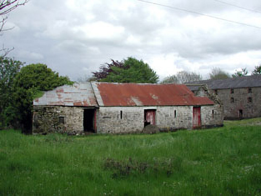 outbuildingoutbuilding · 561 yd
 Enclosure in BigstownEnclosure · 1151 yd
 CastleCastle, unclassified · 1476 yd
 Valley WoodWood · 1.3 mi
 Yellow HillMountain / peak · 2.1 mi
 European White ElmEuropean White Elm · 2.3 mi
 Sir Frederick Foster MemorialMemorial · 2.7 mi
 Site of Siddan castleCastle, unclassified · 2.8 mi
 Graveyard in StickillinGraveyard · 3.9 mi