What is recorded here
Shankill kept a gated fortification during the mid-thirteenth century, though its exact walls have vanished from the earth. A murder recorded inside that gate between 1257 and 1263 confirms the settlement was enclosed enough to trap violence within its own boundary. The missing stones do not weaken the fact; they reveal how quickly human urgency can build a place and how quickly memory can erase it.
The Calendar of Archbishop Alen's Register records that between 1257 and 1263 a murder was committed in the gate of Shankill (McNeill 1950, 112). This would suggest that the settlement was enclosed but no trace of the course of the defences survives. The fortification has not been precisely located.
Compiled by: Geraldine Stout and Padraig Clancy.
Revised upload on: 19 April 2018.
The monument record does not grant public access. Check the route and ask the landowner before entering private land.
- What survives
- Recorded monument
Places near here
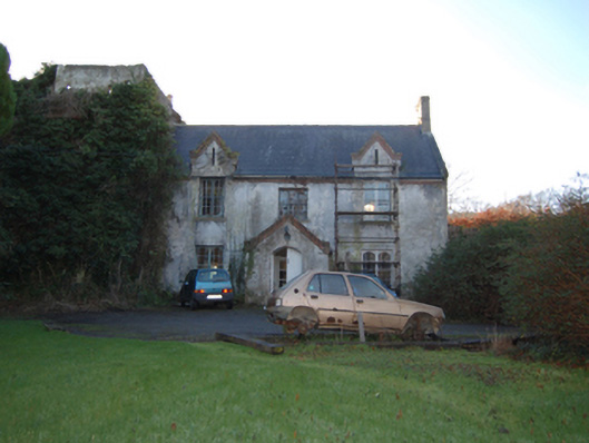 Shankill Castlefarm house · 234 yd
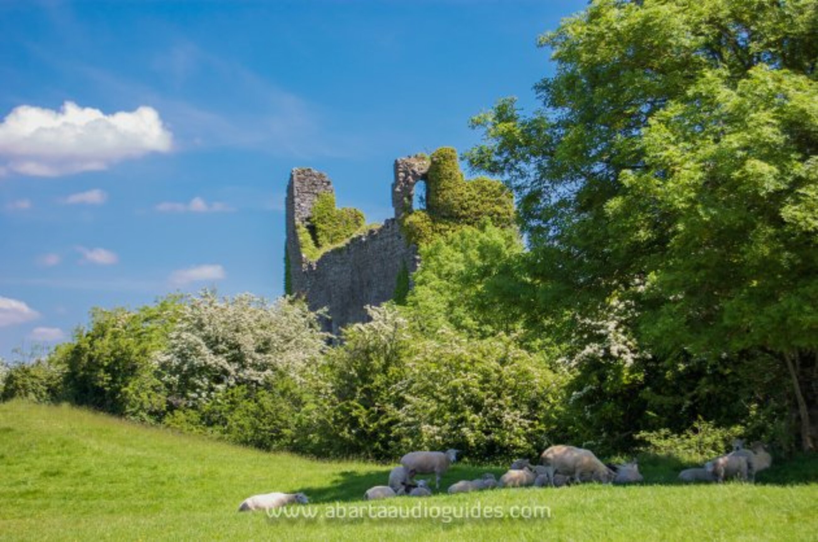 Settlement desertedSettlement deserted, medieval · 347 yd
 Cross (present location) in ShankillCross (present location) · 446 yd
 Lordellogate lodge · 493 yd
 Rathmichael WalkWalking route · 585 yd
 Bawn in RathmichaelBawn · 990 yd
 Puck's CastleCastle · 1020 yd
 Dublin Mountains Way Trailhead SignVisitor information · 1467 yd
 Carrickgollogan HillMountain / peak · 1525 yd
 St. James GateVisitor information · 1681 yd
 Monterey CypressMonterey Cypress · 1.3 mi
 Loughlinstown WoodsNature reserve · 1.4 mi