What is recorded here
In improved pasture, on a gentle SE-facing slope. Rectangular enclosures (TS062-156---- and TS062-158----) are located c. 10m and 30m to SW respectively. The remains of a rectangular area (dims. 28m NW-SE; 12m NE-SW) defined by a levelled bank (overall Wth 3.2m; Wth at top 0.5m; int. H 0.45m; ext. H 0.2m) to NW (L 10m) and reduced to scarp (Wth 2m; H 0.25m) to NE (L 28m), SE (L 10m) and SW (L 28m) The interior slopes to the SE.
Compiled by: Jean Farrelly
Date of upload: 26 August 2011
The monument record does not grant public access. Check the route and ask the landowner before entering private land.
- What survives
- Recorded monument
Places near here
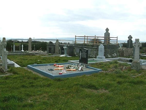 Enclosure in ShanakyleEnclosure · 54 yd
 CastleCastle, ringwork and bailey · 212 yd
 CrushshuvaunhenryCross, Wayside cross · 340 yd
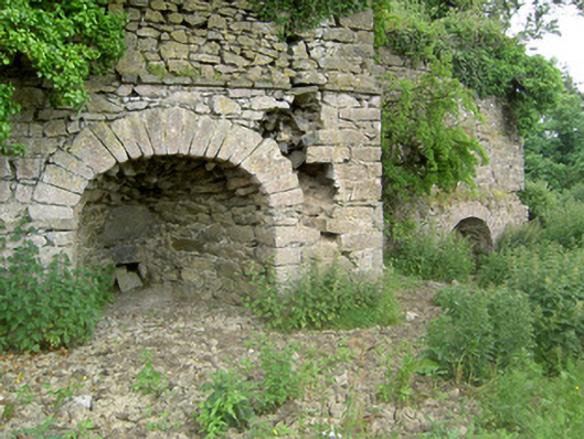 kilnkiln · 1056 yd
 ‘Magowry Church (in ruins)’Church · 1170 yd
 Eagle HillMountain / peak · 1.0 mi
 Saint Johnstown CastleCastle · 1.5 mi
 Knockuragh HillMountain / peak · 2.5 mi
 Slieveardagh Heritage CentreVisitor information · 3.2 mi
 Fenane WoodForest · 4.6 mi
 Silver FirSilver Fir · 5.1 mi
 East GateMemorial · 5.1 mi