What is recorded here
Located on a fairly level landscape. (Mason 1814, 91) noted that a considerable number of houses existed around the parish church of Rataine (ME030-011----) which have since been destroyed leaving no visible remains. (Graham 1974, 49)
The above description is derived from the published 'Archaeological Inventory of County Meath' (Dublin: Stationery Office, 1987). In certain instances the entries have been revised and updated in the light of recent research.
Compiled by: Michael Moore
Date of upload/revision: 5 January 2014
The monument record does not grant public access. Check the route and ask the landowner before entering private land.
- What survives
- Recorded monument
Places near here
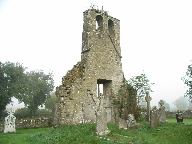 Church (in Ruins)Church · 31 yd
 EnclosureEnclosure, large enclosure · 1.1 mi
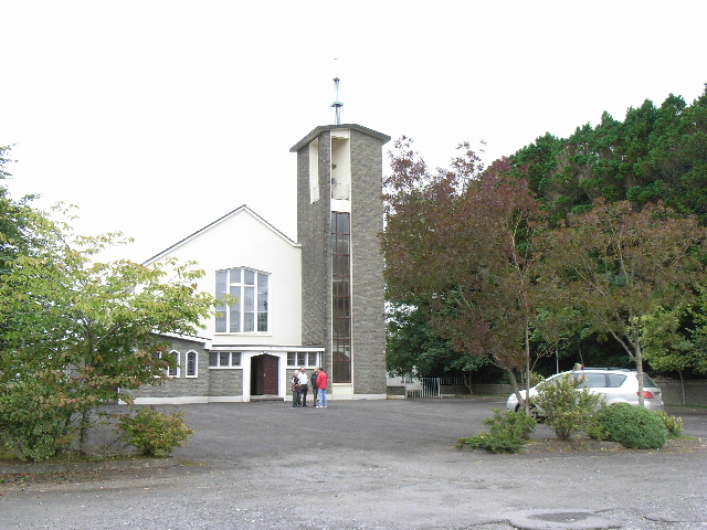 Catholic Church of the Assumptionchurch/chapel · 1.1 mi
 Font (present location) in BalbradaghFont (present location) · 1.1 mi
 Wych ElmWych Elm · 1.5 mi
 Small-leaved ElmSmall-leaved Elm · 2.0 mi
 Trubley CastleCastle, tower house · 2.4 mi
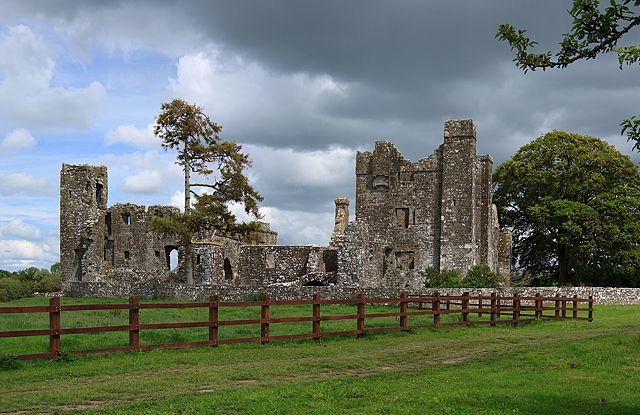 IndicatedCastle, tower house · 2.5 mi
 BohermeenMountain / peak · 3.2 mi
 The New Line RoadMemorial · 3.4 mi
 Nangle CourtMemorial · 4.7 mi
 JamestownMountain / peak · 4.7 mi