What is recorded here
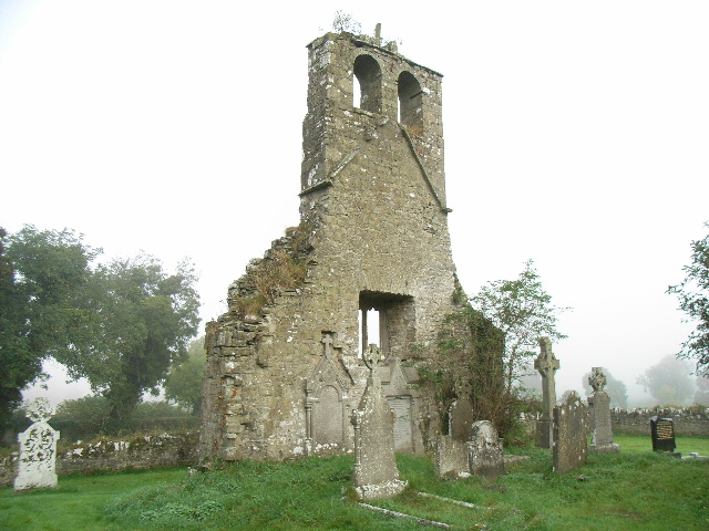
Located on a rise in a fairly level landscape. A church at Rathyn is listed in the ecclesiastical taxation (1302-06) of Pope Nicholas IV (Cal. doc. Ire. 5, 256). Ussher (1622) describes the church and chancel of the parish church of Ratayne as ruined, and this is confirmed by Dopping (1682-5) when the graveyard was not enclosed (Ellision 1972, 12). The grass-covered foundations or low walls of an undivided nave and chancel church (int. dims 21.3m WNW-ESE; 5.65m NNE-SSW) survive together with the W gable (ext. L 7.3m) that has a base-batter. The gable has a double-light ogee-headed window with an external square hood moulding, and there is a double belfry overhead. The graveslab of Richard Bedlow (Bellew) dated 1601 and described by Conwell (1873, 381-2) is no longer present. The site of the deserted settlement (ME030-011001-) is around the rectangular graveyard (dims c. 45m WNW-ESE; c. 30m NNE-SSW) defined by masonry walls.
The above description is derived from the published 'Archaeological Inventory of County Meath' (Dublin: Stationery Office, 1987). In certain instances the entries have been revised and updated in the light of recent research.
Compiled by: Michael Moore
Date of revision: 5 January 2015
The monument record does not grant public access. Check the route and ask the landowner before entering private land.
- What survives
- Recorded monument
Places near here
 EnclosureEnclosure, large enclosure · 1.0 mi
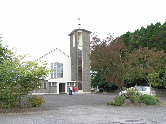 Catholic Church of the Assumptionchurch/chapel · 1.1 mi
 Font (present location) in BalbradaghFont (present location) · 1.1 mi
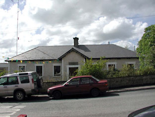 Bective National Schoolschool · 1.2 mi
 Wych ElmWych Elm · 1.5 mi
 Small-leaved ElmSmall-leaved Elm · 2.0 mi
 Trubley CastleCastle, tower house · 2.5 mi
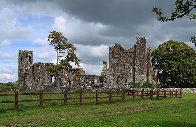 IndicatedCastle, tower house · 2.5 mi
 BohermeenMountain / peak · 3.2 mi
 The New Line RoadMemorial · 3.4 mi
 Nangle CourtMemorial · 4.7 mi
 JamestownMountain / peak · 4.7 mi
Other information
Photo: JP · CC BY-SA 2.0