
What is recorded here
This is depicted as a large D-shaped area (ext. dims c. 110m NE-SW; c. 95m NW-SE) and described as a ‘Fort’ on the 1836 edition of the OS 6-inch map and as large oval area defined by a fosse on the 1908 edition It was recorded in 1969 (SMR file) as a raised oval area (dims 96m ENE-WSW; 75m NNW-SSE) defined by the remains of an earthen bank (at SW: Wth of base 5m; int. H 0.3m; ext. H 1.8m) with an external flat-bottomed fosse or drain (Wth of top 7.5m; Wth of base 4m; ext. D 0.5m at NE to 1.6m at SW) and an outer bank (Wth of base 3-7.5m; ext. H 0.3-1m). There were slight traces of an outer fosse NNW-E (max. ext. dim. 112m NE-SW). There was an entrance at ENE. Its visible profile was removed in 1979.
The above description is derived from the published 'Archaeological Inventory of County Meath' (Dublin: Stationery Office, 1987). In certain instances the entries have been revised and updated in the light of recent research.
Compiled by: Michael Moore
Date of upload: 10 July 2007
Amended: 24 March 2023
The monument record does not grant public access. Check the route and ask the landowner before entering private land.
- What survives
- Recorded monument
Places near here
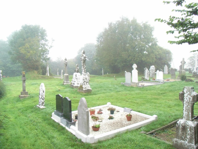 Church (in Ruins)Church · 888 yd
 Enclosure in Bellewstown (navan Lower By.)Enclosure · 1.3 mi
 Enclosure in BoyerstownEnclosure · 1.3 mi
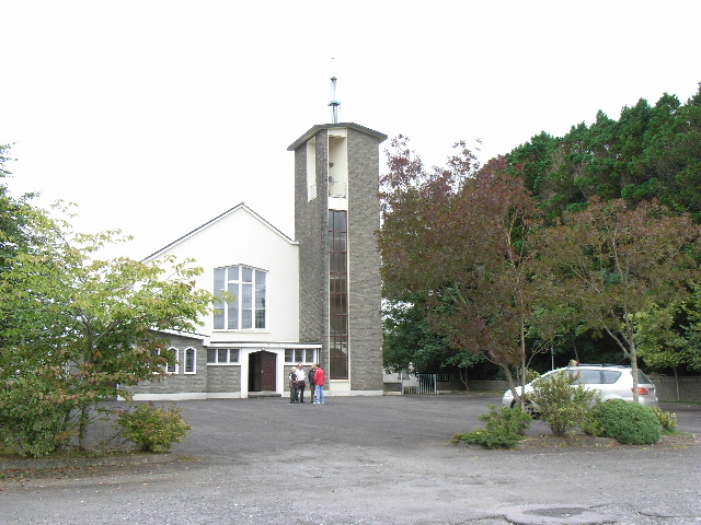 Catholic Church of the Assumptionchurch/chapel · 1.8 mi
 Wych ElmWych Elm · 2.1 mi
 BohermeenMountain / peak · 2.4 mi
 Small-leaved ElmSmall-leaved Elm · 2.6 mi
 The New Line RoadMemorial · 2.6 mi
 Assey CastleCastle, tower house · 2.9 mi
 Trubley CastleCastle, tower house · 3.3 mi
 Nangle CourtMemorial · 3.7 mi
 Faughan HillMountain / peak · 4.1 mi
Other information
Photo: Credit not shown in the picture search · Rights wording not checked; contact us if this picture should be removed