
What is recorded here
Located on a fairly level landscape. The cropmark of a circular enclosure (diam. c. 50m) defined by a single fosse feature is visible on Google Earth (14/07/2018), but no entrance is detected. It was first reported by Ciaran McDonnell, and it was also reported by Anthony Murphy.
Compiled by: Michael Moore
Date of upload: 3 March, 2019
The monument record does not grant public access. Check the route and ask the landowner before entering private land.
- What survives
- Recorded monument
Places near here
 Holy well in Bellewstown (navan Lower By.)Holy well · 528 yd
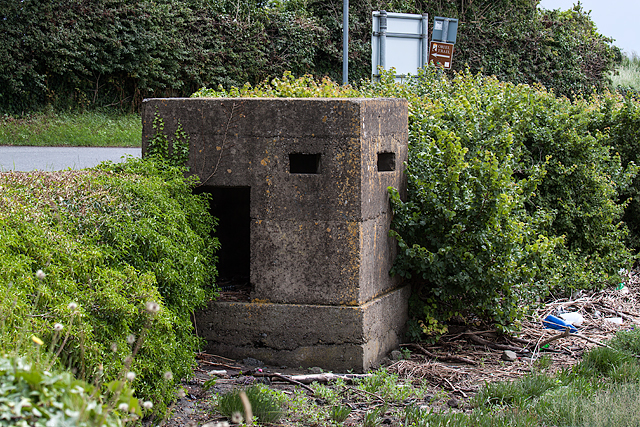 Enclosure in Gillstown (navan Upper By.)Enclosure · 1356 yd
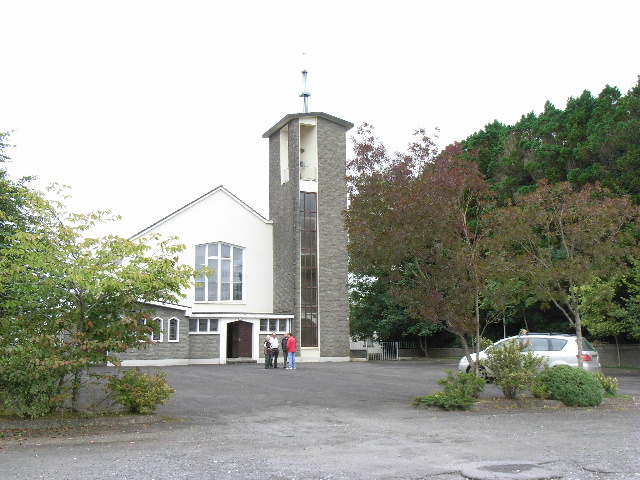 Catholic Church of the Assumptionchurch/chapel · 1755 yd
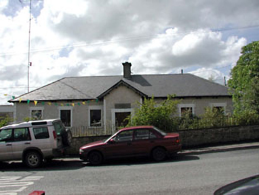 Bective National Schoolschool · 1.0 mi
 Wych ElmWych Elm · 1.2 mi
 Small-leaved ElmSmall-leaved Elm · 1.6 mi
 Assey CastleCastle, tower house · 1.7 mi
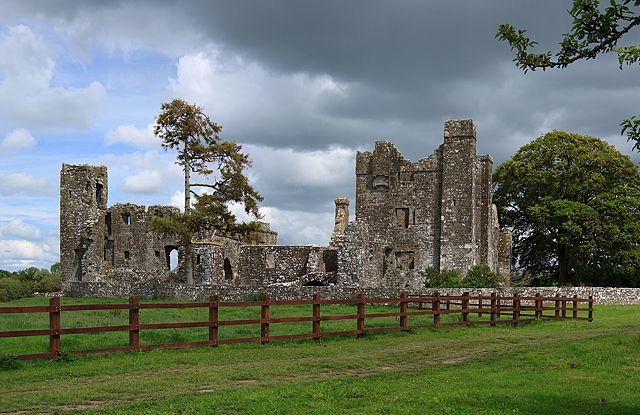 IndicatedCastle, tower house · 1.9 mi
 BohermeenMountain / peak · 3.6 mi
 The New Line RoadMemorial · 3.9 mi
 Saint Patrick'sMemorial · 4.8 mi
 Hill of TaraVisitor information · 4.8 mi
Other information
Photo: Credit not shown in the picture search · Rights wording not checked; contact us if this picture should be removed