What is recorded here
Standing stone in Scraggeen is a standing stone in Scraggeen, County Tipperary, Ireland. The small orthostat has a rectangular cross-section measuring 0.52 metres by 0.23 metres and standing 0.86 metres high. It aligns on a north-south axis and slopes out of the ground from west to east inside a rough circular area 10 metres north-south and 8 metres east-west. Loosely piled boulders define that circle, and some appear to be field clearance debris dumped around the stone when the field was reclaimed.
In flat reclaimed grassland in upland region with good views in all directions. Situated in 75m from the roadway located to the N of the possible monument. The site consists of a small orthostat with a rectangular cross-section (dims.0.52m x 0.23m; H 0.86m ) orientated on a N-S axis and sloping out of the ground from W to E. A rough circular area around the stone is defined by loosely piled boulders of varying shapes and sizes to form a circular area (diam. N-S 10m; E-W 8m). The stone is located approximately in the centre of this circular area. A lot of these boulders have the appearance of field cleanace debris which has been dumped around the orthostat possibly when the field was being reclaimed . Around the base of the standing stone there are several small stones protruding above the surface of the ground. It is not clear whether this natural rock outcrop or man-made features associated with the orthostat. Possible standing stone which has been used as a place for dumping field clearance material when field was being reclaimed.
Compiled by: Caimin O'Brien.
Date of upload: 22 September 2008
The monument record does not grant public access. Check the route and ask the landowner before entering private land.
- What survives
- Recorded monument
Places near here
 Outlined, KnockaunnamoughillyEnclosure, large enclosure · 677 yd
 Kill Burial Ground for ChildrenChildren's burial ground · 1326 yd
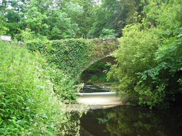 Clare Bridgebridge · 1.1 mi
 Site of Derryleigh CastleCastle, unclassified · 1.3 mi
 Wall monument (present location) in Boarmanshill,garranbaneWall monument (present location) · 1.5 mi
 Castle WellerCastle · 2.0 mi
 Slieve Felim WayWalking route · 2.4 mi
 Sliev Felim WayVisitor information · 2.8 mi
 Slieve FelimMountain / peak · 2.9 mi
 Slieve Felim East TopMountain / peak · 4.0 mi
 Graveyard in AbingtonGraveyard · 4.2 mi
 Ballyhourigan WoodsForest · 5.2 mi