What is recorded here
Fairy fort / earthen ringfort in Sarsfieldstown is a fairy fort or earthen ringfort in Sarsfieldstown, County Westmeath, Ireland. Situated on a hill in gently undulating pasture, the site was depicted on the revised 1913 edition Ordnance Survey map as a roughly subrectangular earthwork. A description from 1970 to 1972 recorded a subrectangular area measuring 35 metres north to south and 29 metres east to west, enclosed by a bank that is best preserved from east-southeast through south to west, north, and north-northeast but is absent from northeast through east to east-southeast where a field boundary skirts the site. The original entrance is not recognisable, and the interior features an east-facing slope with traces of cultivation ridges.
Situated on a hill, in gently undulating pasture, with good views to S. Depicted on the revised 1913 ed. OS 25-inch map as a roughly subrectangular-shaped earthwork. Monument described in 1970-2 as a subrectangular-shaped area (dims. 35m N-S; 29m E-W) enclosed by a bank (overall Wth 5.3m; Wth at top 0.3m; int. H 1.9m; ext. H 1.5m) that is best preserved from ESE-S-W-N-NE and is absent NE-E-ESE where a field boundary running NNW-SSE skirts the site. There are disturbance gaps at NNE, W and NW. The original entrance is not recognisable. The interior has an E-facing slope with traces of cultivation ridges extending NE and then curving E. Monument is visible as a roughly oval-shaped earthwork on Digital Globe aerial photography.
Compiled by Alison McQueen, Vera Rahilly and Caimin O’Brien.
Date of upload: 09 July 2019
The monument record does not grant public access. Check the route and ask the landowner before entering private land.
- What survives
- Recorded monument
Places near here
 TobermíonadHoly well · 351 yd
 CastleCastle, tower house · 734 yd
 Bawn in Kerinstown and Balrowan (rowley)Bawn · 781 yd
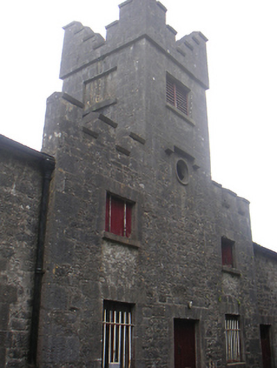 Lisnabin Castlestables, outbuilding · 1336 yd
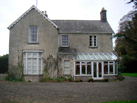 The Mansemanse · 1449 yd
 CrossCross, Wayside cross · 1525 yd
 GinkgoGinkgo · 4.1 mi
 ScregganWood · 6.0 mi
 Croppies' GraveMemorial · 8.5 mi
 Rathwire Moat & CastleCastle, motte and bailey · 1423 yd
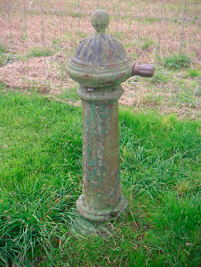 water pumpwater pump · 1472 yd
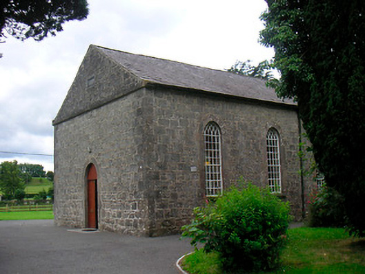 Killucan Presbyterian Churchchurch/chapel · 1492 yd