What is recorded here
Fairy fort in Saddlestown, County Meath: a 25m earthen ring on a slight rise, visible only in aerial images. Colin Byrne first identified it. The land may have swallowed the ditch, but the circle still holds its shape beneath grass and rain.
Situated on a slight rise in an undulating landscape. The cropmark of a circular enclosure (diam. c. 25m) defined by a single fosse feature is visible on aerial images (OSAP: 1995, 2005). It was first identified by Colin Byrne.
See the attached enhanced view from OSAP (1995)
Date of upload; 15 September 2017
The monument record does not grant public access. Check the route and ask the landowner before entering private land.
- What survives
- Recorded monument
Places near here
 Enclosure in Herbertstown (duleek Upper By.)Enclosure · 777 yd
 Enclosure in ClinstownEnclosure · 1273 yd
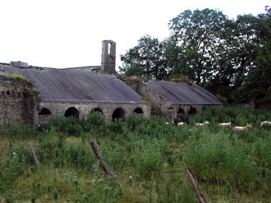 Herbertstown Housefarmyard complex · 1411 yd
 Tullog WoodForest · 1.0 mi
 Ballshill PlantingForest · 1.5 mi
 Church in FowlerstownChurch · 1.6 mi
 FourknocksPassage tomb · 1.7 mi
 Naul Park HouseCastle, unclassified · 2.2 mi
 Bawn in NaulBawn · 2.3 mi
 Seamus Ennis Cultural CentreMemorial · 2.4 mi
 Bun-na-CnoicMemorial · 2.7 mi
 Naul HillMountain / peak · 3.0 mi