
What is recorded here
Situated on a slight W-facing slope. This is a rectangular, grass-covered mound (dims of base 21m E-W; 12m N-S; dims of top 14.5m E-W; 6.8m N-S: H 0.8-1m) with field stones and boulders accumulating on it. Locally, this is regarded as a church in a field known as the 'church field', which is never disturbed (Pers Comm. Colin Byrne, 21/08/2008). There are no traditions attached to it, although it is thought that it could be the parish church of Duleek Abbey parish. Even though the surrounding ground is ploughed to the edge of the mound, no bones have been encountered, and the only items known are modern crockery.
Compiled by: Michael Moore
Date of revised upload: 11 March, 2015
The monument record does not grant public access. Check the route and ask the landowner before entering private land.
- What survives
- Recorded monument
Places near here
 Enclosure in RudderEnclosure · 1025 yd
 EnclosureEnclosure, large enclosure · 1229 yd
 FourknocksPassage tomb · 1.6 mi
 Church in Collierstown (duleek Upper By.)Church · 1.6 mi
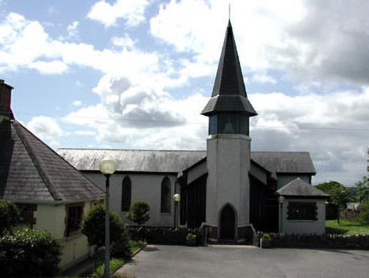 Saint Thérèse's Catholic Churchchurch/chapel · 1.7 mi
 CastleCastle, unclassified · 1.8 mi
 Tullog WoodForest · 2.4 mi
 Ballshill PlantingForest · 3.1 mi
 Naul Park HouseCastle, unclassified · 3.2 mi
 Seamus Ennis Cultural CentreMemorial · 3.4 mi
 Bun-na-CnoicMemorial · 3.7 mi
 PuddenhillHeritage attraction · 3.7 mi
Other information
Photo: Credit not shown in the picture search · Rights wording not checked; contact us if this picture should be removed