What is recorded here
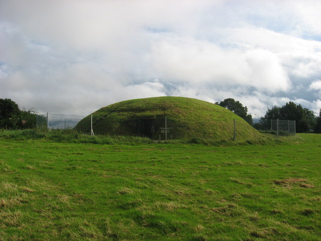
Fairy fort in Grange (duleek Upper By.), County Meath, Ireland is a possible henge. Its circular area is about 70m across, with two banks and an intervening ditch still visible from the southeast to the southwest. The rest has been ploughed flat, but the surviving curve still marks a place set apart from ordinary fields.
The following description is derived from the published 'Archaeological Inventory of County Meath' (Dublin: Stationery Office, 1987). In certain instances the entries have been revised and updated in the light of recent research.
Date of upload/revision: 10 July 2007
Circular area (diam. c 70m) with two banks and intervening ditch surviving SE-SW. Remainder of banks and interior ploughed out. This site has been re-assessed and re-classified as henge, possible (Steve Davies, UCD, pers comm.)
The monument record does not grant public access. Check the route and ask the landowner before entering private land.
- What survives
- Recorded monument
Places near here
 Enclosure in Grange (duleek Upper By.)Enclosure · 180 yd
 FourknocksPassage tomb · 238 yd
 Church (in Ruins)Church · 766 yd
 Passage tomb art in FourknocksPassage tomb art · 827 yd
 The story of the milk standMemorial · 940 yd
 ChapelChurch · 1.1 mi
 Naul Park HouseCastle, unclassified · 1.8 mi
 Tullog WoodForest · 1.9 mi
 Westown HouseCastle, tower house · 2.0 mi
 Seamus Ennis Cultural CentreMemorial · 2.1 mi
 Naul HillMountain / peak · 2.3 mi
 St. John's WellSpring · 3.5 mi