
What is recorded here
Located on a W-facing col with Fourknocks ridge rising over it c. 0.7km to the N and a slight knoll c. 300m to the S. A church at Clonalwy is listed in the ecclesiastical taxation (1302-06) of Pope Nicholas IV (Cal. doc. Ire. 5, 253). Ussher (1622) describes the church of Clonalvey as indifferently repaired and the chancel as ruined (Erlington 1847-64, lxv). According to the Dopping (1682-5) and Regal (1695) visitations the church of St John the Baptist was unrepaired since 1640 (Ellison 1971, 36).
The parish church of Clonalvey is within a rectangular graveyard (dims c. 55m NE-SW: c. 45m NW-SE) defined by masonry walls with a NE-SW road outside it to the SE. The graveyard has headstones dating from 1743 to the present. The church (ext. dims 23.5m E-W; 7.3m N-S) is reduced to the W wall with putlog-holes and a destroyed window together with an attached section (L 5.4m) of the S wall. The church is an overgrown sunken area but an attached and overgrown sacristy (ext. dims 6.85m E-W; 3.8m N-S) at the E of the N wall survives as featureless walls (H 2m). Man-made underground passage (ME033-027----) is c. 85m to the SSW.
The above description is derived from the published 'Archaeological Inventory of County Meath' (Dublin: Stationery Office, 1987). In certain instances the entries have been revised and updated in the light of recent research.
Compiled by: Michael Moore
Date of upload/revision: 9 February 2015
The monument record does not grant public access. Check the route and ask the landowner before entering private land.
- What survives
- Recorded monument
Places near here
 The story of the milk standMemorial · 193 yd
 Enclosure in Grange (duleek Upper By.)Enclosure · 794 yd
 FourknocksPassage tomb · 1002 yd
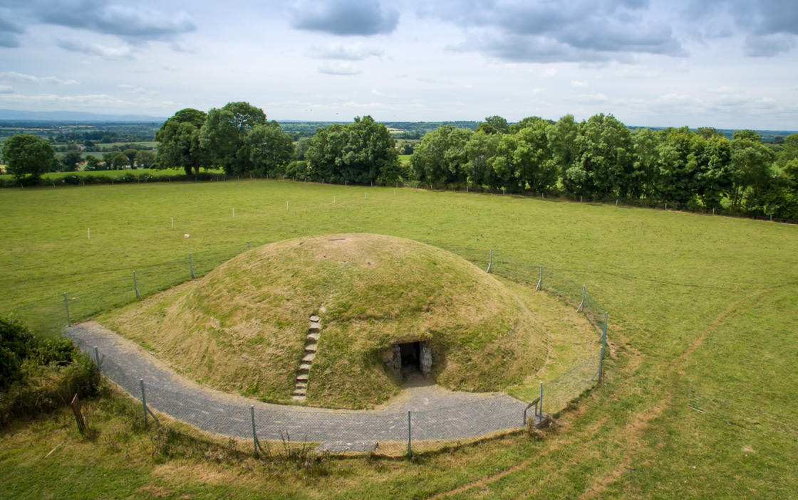 Four Knocks TombArchaeological place · 1179 yd
 QuarryQuarry · 1471 yd
 ChapelChurch · 1.1 mi
 Naul Park HouseCastle, unclassified · 1.8 mi
 Westown HouseCastle, tower house · 1.8 mi
 Seamus Ennis Cultural CentreMemorial · 2.0 mi
 Naul HillMountain / peak · 2.1 mi
 Tullog WoodForest · 2.1 mi
 St. John's WellSpring · 3.0 mi
Other information
Photo: Credit not shown in the picture search · Rights wording not checked; contact us if this picture should be removed