
What is recorded here
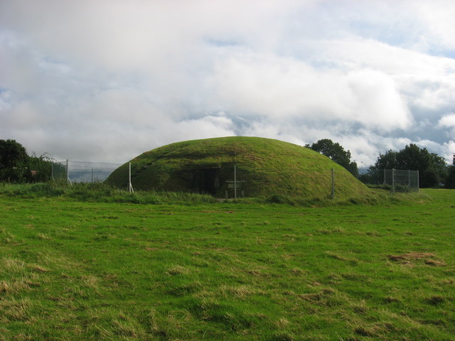
Aerial photograph (GB89.K.33) shows cropmark of a circular enclosure defined by a fosse.
Compiled by: Dr Gillian Barrett for the Archaeological Survey of Ireland.
Date of upload: 10 June 2009
A local fairy fort (ringfort/rath); wider significance not recorded.
The monument record does not grant public access. Check the route and ask the landowner before entering private land.
- What survives
- Recorded monument
Places near here
 FourknocksPassage tomb · 318 yd
 Church (in Ruins)Church · 794 yd
 The story of the milk standMemorial · 946 yd
 Embanked enclosure in Fourknocks,micknanstown (duleek Upper By., Clonalvy Par.)Embanked enclosure · 994 yd
 Passage tomb art in FourknocksPassage tomb art · 1004 yd
 ChapelChurch · 1.0 mi
 Naul Park HouseCastle, unclassified · 1.9 mi
 Tullog WoodForest · 2.0 mi
 NaulMemorial · 2.1 mi
 Westown HouseCastle, tower house · 2.1 mi
 Naul HillMountain / peak · 2.4 mi
 St. John's WellSpring · 3.5 mi
Other information
Photo: Credit not shown in the picture search · Rights wording not checked; contact us if this picture should be removed