What is recorded here
On the SW-facing slope of a small NW-SE spur. Circular grass-covered platform (diam. 17.6m NW-SE; H 0.4-0.7m) defined by a flat-bottomed fosse (Wth of top 8.2-10.2m; Wth of base 3.4-4.5m; D 1.5m) with some reeds, and an outer grass-covered bank (Wth 5.6-6.2m; H 0.25-0.6m) with some furze (max. ext. diam. 40.5m NW-SE). There is no identifiable original entrance. The possible rath (RO034-077----) is c. 30m to the NW.
Compiled by: Michael Moore
Date of upload: 24 August 2010
Embanked enclosure, likely dating to the Late Bronze Age or Early Iron Age. Its significance lies in its rare preservation and the insight it provides into territorial or ritual land use in prehistoric landscapes.
The monument record does not grant public access. Check the route and ask the landowner before entering private land.
- What survives
- Recorded monument
Places near here
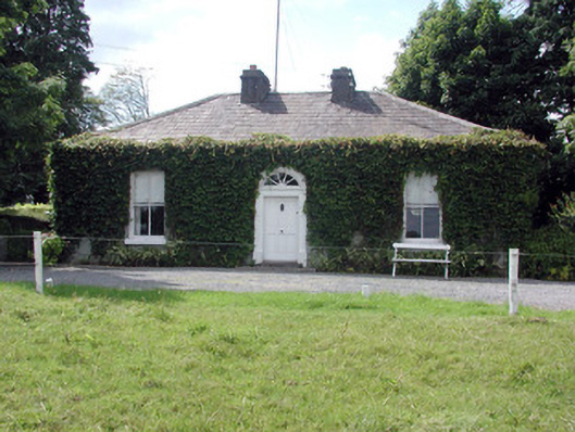 Ballydooley Lodgegate lodge · 834 yd
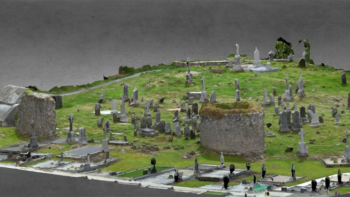 Enclosure in CarroweighterEnclosure · 1185 yd
 Enclosure in Creeve (ballymoe By.)Enclosure · 1221 yd
 HawthornHawthorn · 1396 yd
 Church in Emlagh MoreChurch · 1.2 mi
 European ashEuropean ash · 4.1 mi
_-_geograph.org.uk_-_1952978.jpg?width=1280) Bawn in Glinsk (ballymoe By.)Bawn · 4.7 mi
Bawn in Glinsk (ballymoe By.)Bawn · 4.7 mi CastleCastle, Anglo-Norman masonry castle · 5.1 mi
 Site of Killomaine Grave YardArchaeological place · 5.3 mi
 Roscommon CastleCastle · 5.9 mi
 Sally IslandIslet · 7.1 mi
 Mount MaryMountain / peak · 7.7 mi