What is recorded here
Marked as a oval embanked enclosure (ext. dims c. 30m E-W; c. 20m N-S) only on the 1837 ed. of the OS 6-inch map, and situated on a rise in a low-lying landscape. Subcircular grass-covered area (dims 26.8m NW-SE; 22.5m NE-SW) defined by a curving bank (Wth 3-4.9m; int. H 0.15m; ext. H 0.15-0.3m) W-N and E-S, and by straight scarps N-E (H 0.15m) and S-W (H 0.45m). There is no visible fosse or identifiable original entrance. Rath (RO039-020----) is c. 150m to the ESE.
Compiled by: Michael Moore
Date of upload: 24 August 2010
The monument record does not grant public access. Check the route and ask the landowner before entering private land.
- What survives
- Recorded monument
Places near here
 IndicatedFairy fort / stone ringfort · 764 yd
 Concentric enclosure in Barnhill,ranelaghConcentric enclosure · 1111 yd
 Fortview Househouse · 1597 yd
 CastleCastle, unclassified · 1.1 mi
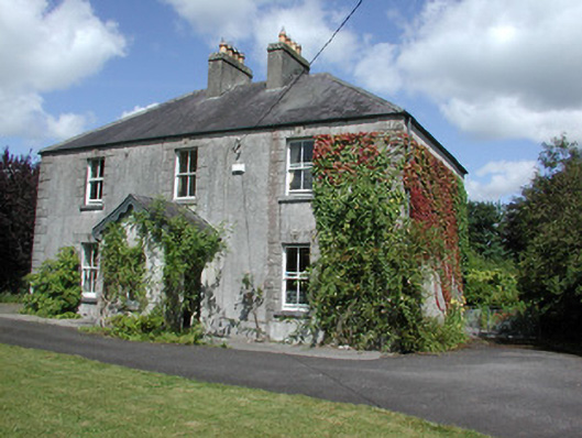 Castleview Househouse · 1.2 mi
 Roscommon CastleCastle · 1.6 mi
 Big IslandForest · 3.1 mi
 Little IslandForest · 3.2 mi
 Leitrim CastleCastle, unclassified · 4.3 mi
 Slieve BawnMountain / peak · 6.3 mi
 Dogs IslandIslet · 8.2 mi
 Black RockNamed rock · 8.3 mi