What is recorded here
Embanked enclosure is a fairy fort or earthen ringfort in Roxborough, County Roscommon, Ireland. It appears as a circular embanked enclosure on the 1837 Ordnance Survey map and as an arc of field bank on the 1914 edition. An overgrown earthen bank survives along the southeast, west and northwest, while a Rath sits about 90 metres to the northwest.
Marked as a circular embanked enclosure (ext. diam. c. 30m) on the 1837 ed. of the OS 6-inch map and as an arc of field bank on the 1914 ed. Situated on a gentle NE-facing slope. An arc (C 25.6m) of an overgrown earthen bank (at S: Wth 4m; int. H 0.3m; ext. H 0.9m) survives SE-W-NNW. There is no visible fosse or identifiable original entrance. In 1976 the bank survived SE-W-NE, with traces of an outer fosse at NE (SMR file). Rath (RO040-005----) is c. 90m to the NW.
Compiled by: Michael Moore
Date of upload: 3 January 2013
The monument record does not grant public access. Check the route and ask the landowner before entering private land.
- What survives
- Recorded monument
Places near here
 Enclosure in Cartron (coote)Enclosure · 825 yd
 Embanked enlcosureFairy fort / earthen ringfort · 855 yd
 CastleCastle, unclassified · 1083 yd
 Derrane AbbeyReligious house, Augustinian, of Arrouaise nuns · 1359 yd
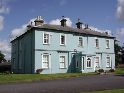 Essex Lawn Househouse · 1.5 mi
 Roscommon CastleCastle · 1.8 mi
 Big IslandForest · 2.7 mi
 Little IslandForest · 2.7 mi
 Leitrim CastleCastle, unclassified · 4.6 mi
 FerrinchIslet · 4.9 mi
 Bushy IslandIslet · 5.6 mi
 Slieve BawnMountain / peak · 5.9 mi