What is recorded here
Three broken stone rings sit tight together at the foot of a steep north-facing slope in Rougham, County Cork. They mark small dwellings clustered beside a bending stream, likely belonging to people who herded animals across the rough mountain grazing above. The stones have collapsed until only low curves remain, but the closeness of the sites suggests neighbours sharing one narrow strip of usable land.
This monument was reported by archaeologist Tony Miller who describes it as: "three hut sites are located in an area of rough mountain grazing within a bend in the stream. They are all next to each other, running along the base of a steep, north facing slope. All are in a very ruinous state and incomplete.
1: This is c. 2m E-W; c. 2m E-W and c. 0.4m H.
2: About 2m east of 1. c. 2.1m E-W; c. 0.7m H.
3: About c. 2.1m E-W; c. 3m N-S (with an entrance to SE) & c. 0.8m W.
There are the partial remains of a smaller hut site on the N side of this one. It is either an annexe or a separate hut site."
Compiled by: Denis Power
Date of upload: 9 April 2014
The monument record does not grant public access. Check the route and ask the landowner before entering private land.
- What survives
- Recorded monument
Places near here
 Hut site in RoughamHut site · 226 yd
 Enclosure in RoughamEnclosure · 247 yd
 Ram's HillMountain / peak · 1105 yd
 Glenlough MountainMountain / peak · 1391 yd
 Old Stone CottagesHeritage attraction · 1.2 mi
 DroppaCliff · 2.0 mi
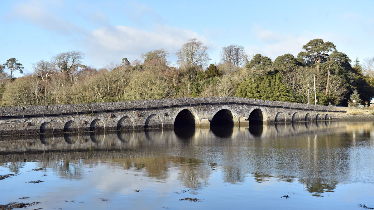 Bridge in Coorannel,derrynafullaBridge · 2.8 mi
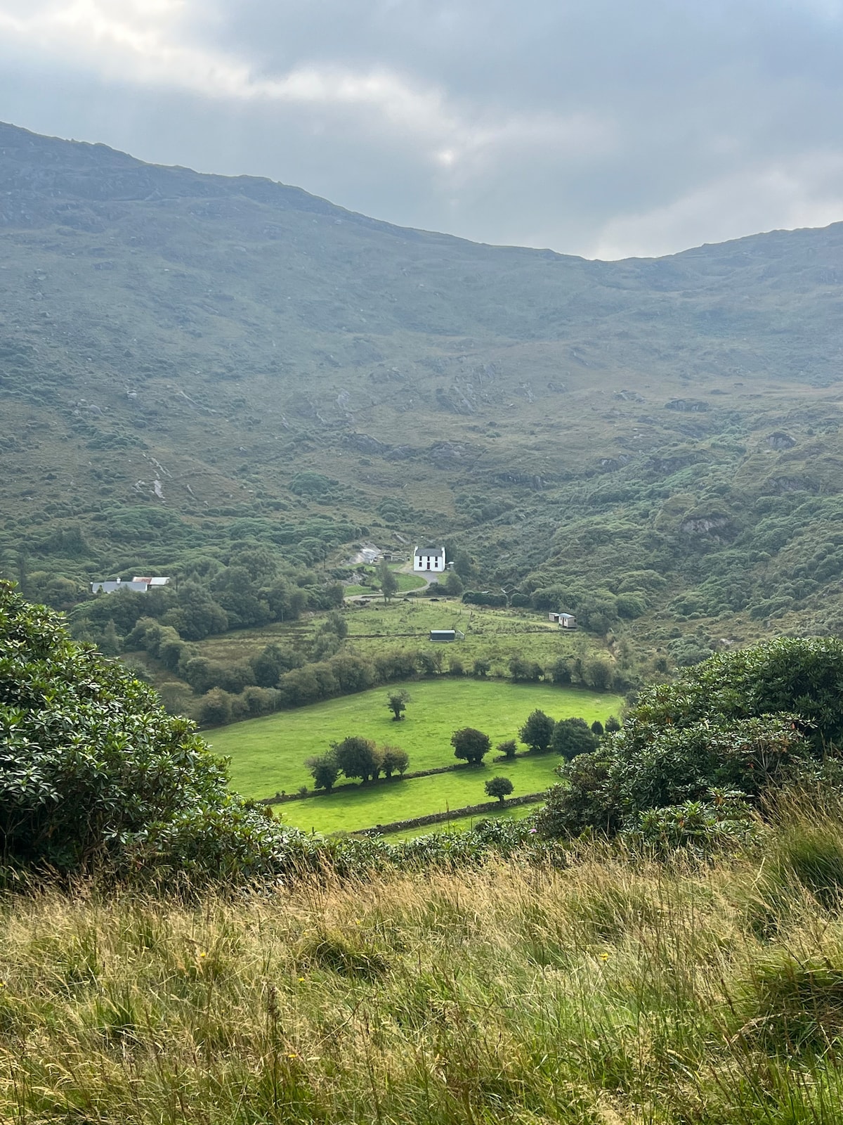 Ahnaclaha BrBridge · 3.0 mi
 Glengarriff WoodsWood · 3.2 mi
 Gleninchaquin WaterfallWaterfall · 3.3 mi
 Gleninchaquin ParkHeritage attraction · 3.5 mi
 Lady Bantry's LookoutViewpoint · 3.7 mi