What is recorded here
Two stone rings sit six metres apart on an east-facing slope in County Cork, one slightly larger than the other, buried under grass and gorse. They are not temples or tombs in any guidebook, only unclassified marks inside old field boundaries. Yet someone chose that exact spot, lifted heavy stones from the bog edge, and arranged them while the land was still alive. The gap between the rings may have measured a shadow, a breath, or a boundary nobody wrote down.
In rough hill pasture, in an area of cutaway bog, on an E-facing slope and within a network of relict field boundaries (CO115-106004-). This circular cairn (diam. 2.4m; H 0.7m) consists of smaller stones in the core and larger stones along the perimeter and on the top. It is partially obscured by grass and gorse-covered sod. Another cairn (CO115-106009-) is c. 6m to the W.
The above description is derived from 'The Archaeological Inventory of County Cork. Volume 5' (Dublin: Stationery Office, 2009).
Date of upload: 22 December 2009
The monument record does not grant public access. Check the route and ask the landowner before entering private land.
- What survives
- Recorded monument
Places near here
 CairnCairn, unclassified · 41 yd
 Hut site in Rossmackowen CommonsHut site · 142 yd
 Holly HillMountain / peak · 850 yd
 Mass-house in ShanacoumhaMass-house · 1649 yd
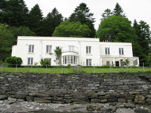 Waterfall Househouse · 1.2 mi
 TrawnablahaBeach / strand · 1.2 mi
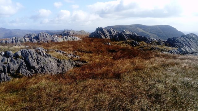 KnocknagreeMountain / peak · 1.5 mi
 Turk IslandIslet · 2.4 mi
 Rerrin LoopWalking route · 2.7 mi
 Mare's Tail WaterfallViewpoint · 2.7 mi
 Beara WayWalking route · 2.8 mi
 Minane IslandIslet · 3.0 mi