
What is recorded here
The fairy fort or earthen ringfort in Rossacrow (Aghacrew parish) is in County Tipperary, Ireland. Its raised circular area measures 21.5 metres east to west at the base of a west-facing slope. An earth-and-stone bank encloses it, and the source records no visible entrance feature. A field boundary crosses the west side, where a 10-metre triangular raised platform may mark the intersection of earlier boundaries that enclosed the monument.
At base of a W-facing slope of rising ground in undulating countryside with nearby ringfort (TS051-020----) c. 200m to S and enclosure (TS051-021----) c. 200m to SSE. Raised circular area (diam. 21.5m E-W) enclosed by an earth and stone bank (top Wth 1m; base Wth 2.5m; int. H 0.3m; ext. H 0.8m). No entrance feature visible. Field boundary intersects site at W with triangular-shaped raised platform (dims. 10m N-S; 10m E-W) jutting out from fosse at W may be remains of the intersection of earlier field boundaries which enclosed the monument.
Compiled by: Jean Farrelly
Date of upload: 26 August 2011
The monument record does not grant public access. Check the route and ask the landowner before entering private land.
- What survives
- Recorded monument
Places near here
 IndicatedEnclosure · 254 yd
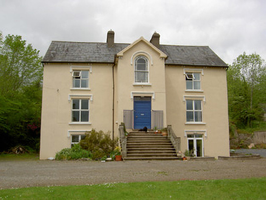 presbytery/parochial/curate's housepresbytery/parochial/curate's house · 478 yd
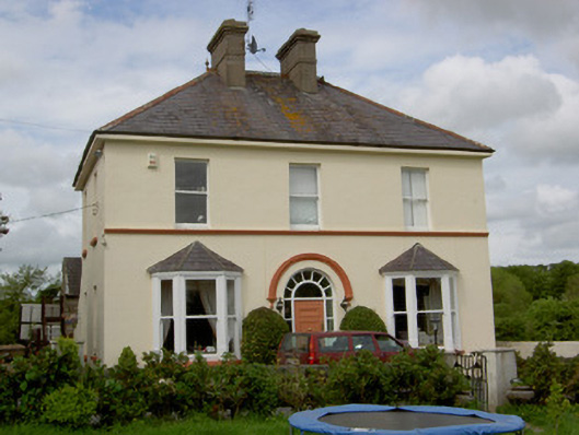 Glenview Househouse · 521 yd
 CastleCastle, unclassified · 870 yd
 Ballysheeda Castle (in Ruins)Castle, tower house · 1251 yd
 Enclosure in Ballysheeda (donohill Par.)Enclosure · 1513 yd
 Green Field ParkWood · 1.1 mi
 Maudemount BogWood · 2.0 mi
 Soloheadbeg Ambushambush · 3.5 mi
 Soloheadbeg Ambush SiteMemorial · 4.2 mi
 GortnageraghMountain / peak · 5.3 mi
 Oola HillMountain / peak · 6.0 mi
Other information
Photo: Credit not shown in the picture search · Rights wording not checked; contact us if this picture should be removed