What is recorded here
Located on a terrace on a steep W-facing slope, which is largely obscured by gorse and dense moorgrass. There are extensive views W over a valley and S over Kenmare Bay. A circular area (10.5m N-S; 9.5m E-W) defined by the remains of a largely collapsed stone wall (T 0.65m; H 0.7m), consisting of large and smaller stones.
Compiled by: Matt Kelleher
Date of upload: 26 February 2013
The monument record does not grant public access. Check the route and ask the landowner before entering private land.
- What survives
- Recorded monument
Places near here
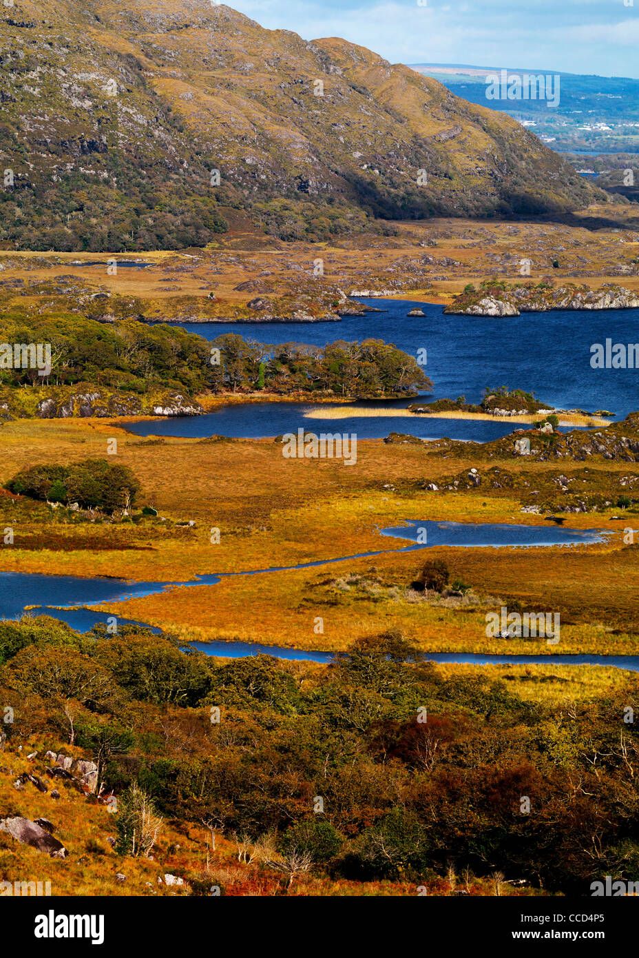 Field system in Lacka,rossacoosaneField system · 227 yd
 DooneenFairy fort / earthen ringfort · 293 yd
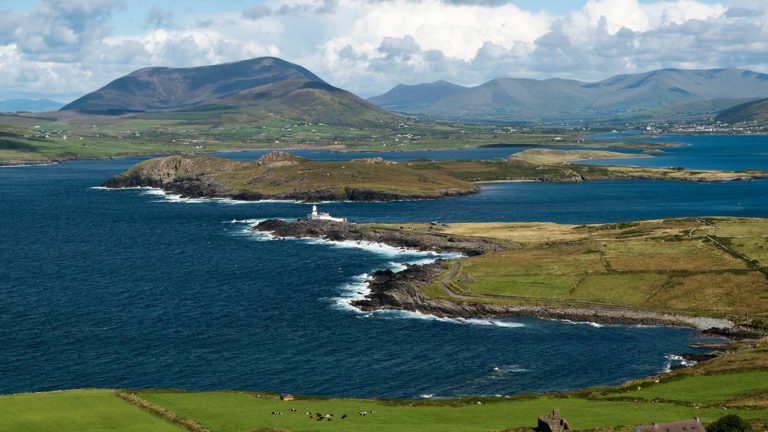 Letter SouthMountain / peak · 960 yd
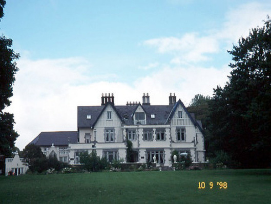 Dromquinna Manorcountry house · 1.8 mi
 Dunkerron CastleCastle · 2.2 mi
 Court (in Ruins)House, 16th/17th century · 2.2 mi
 Coss StrandBeach / strand · 2.3 mi
 Dunkerron Island WestIslet · 2.4 mi
 Dunkerron Island EastIslet · 2.5 mi
 BoughilMountain / peak · 2.5 mi
 Cappanacush Castle (ruins)Castle · 2.5 mi
 Moll's GapViewpoint · 3.0 mi