
What is recorded here
Internal diam. 21.7m N-S, 22.5m E-W
Dooneen/An Dúinín: This heavily overgrown circular rath is located on top of a low rise on the SW slopes of Letter South, providing an excellent outlook over Kenmare Bay to S. The enclosing fosse averages 2m wide and falls .3m below external ground level. The bank, composed of earth and stone, rises to an average external height of 2.5m and is up to 3m in basal width. Regularly coursed drystone facing revets its inner flank. This has collapsed in places, but elsewhere it is preserved from .45m to 1m high. It is not clear if the much eroded gap at SE marks the location of the original entrance to the rath. It is locally reputed that there is a Man-made underground passage (KE092-005001-) at this site, but no surface trace of it is evident.
The above description is derived from A. O'Sullivan and J. Sheehan (compilers), 'The Iveragh peninsula: an archaeological survey of South Kerry'. Cork University Press (1996), no. 544. In certain instances the entries have been revised and updated in the light of recent research.
Date of upload: 29 July 2013
A local fairy fort (ringfort/rath); wider significance not recorded.
The monument record does not grant public access. Check the route and ask the landowner before entering private land.
- What survives
- Recorded monument
Places near here
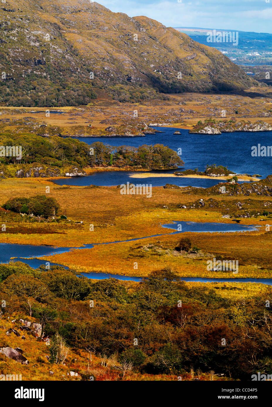 Field system in Lacka,rossacoosaneField system · 453 yd
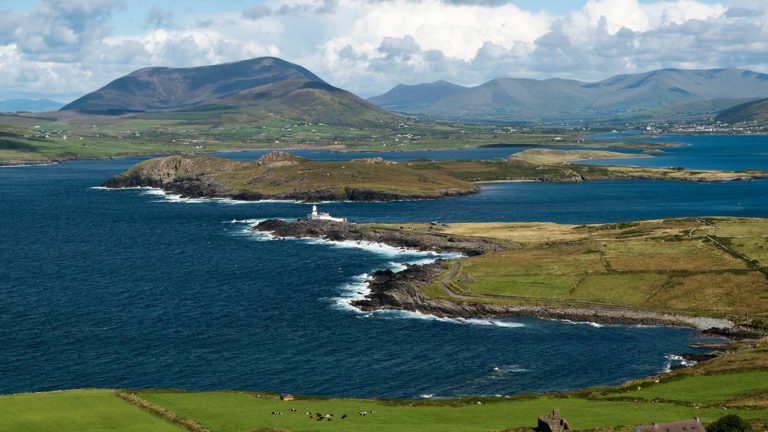 Letter SouthMountain / peak · 1068 yd
 Indicated (1846).Fairy fort / earthen ringfort · 1661 yd
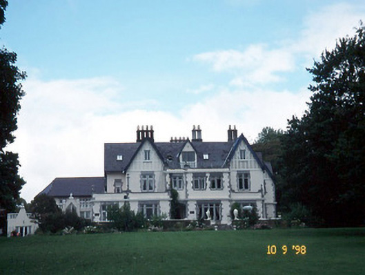 Dromquinna Manorcountry house · 1.9 mi
 Templenoe Churchchurch/chapel · 2.2 mi
 Coss StrandBeach / strand · 2.3 mi
 Dunkerron CastleCastle · 2.3 mi
 BoughilMountain / peak · 2.5 mi
 Cappanacush Castle (ruins)Castle · 2.5 mi
 Dunkerron Island WestIslet · 2.5 mi
 Dunkerron Island EastIslet · 2.6 mi
 Moll's GapViewpoint · 3.0 mi
Other information
Photo: Credit not shown in the picture search · Rights wording not checked; contact us if this picture should be removed