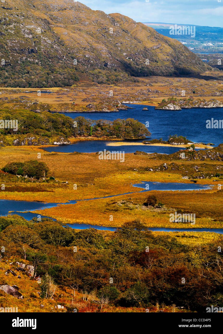
What is recorded here
A number of walls (KE092-006----) and small enclosures in the vicinity of the site appear on an aerial photograph taken in 1973 (GSI V285/6). The walls abutting the site appear to be contemporary and of similar construction to its enclosing element, while those further afield are of more recent origin, as are the smaller enclosures.
The above description is derived from A. O'Sullivan and J. Sheehan (compilers), 'The Iveragh peninsula: an archaeological survey of South Kerry'. Cork University Press (1996), no. 766. In certain instances the entries have been revised and updated in the light of recent research.
Date of upload: 29 July 2013
The monument record does not grant public access. Check the route and ask the landowner before entering private land.
- What survives
- Recorded monument
Places near here
 DooneenFairy fort / earthen ringfort · 453 yd
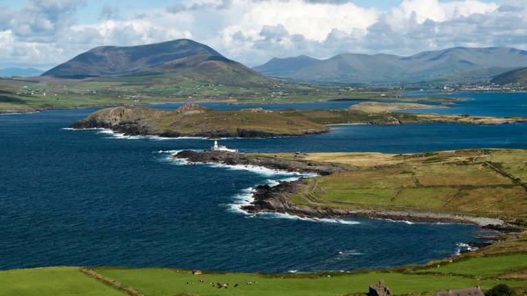 Letter SouthMountain / peak · 746 yd
 Indicated (1846).Fairy fort / earthen ringfort · 1.0 mi
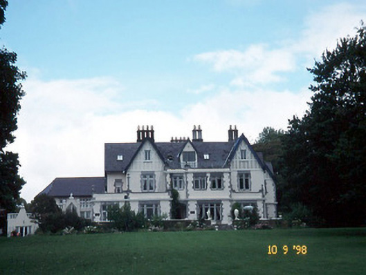 Dromquinna Manorcountry house · 1.9 mi
 Cappamore Br.Bridge · 2.2 mi
 Dunkerron CastleCastle · 2.2 mi
 Coss StrandBeach / strand · 2.4 mi
 BoughilMountain / peak · 2.5 mi
 Dunkerron Island WestIslet · 2.5 mi
 Dunkerron Island EastIslet · 2.5 mi
 Cappanacush Castle (ruins)Castle · 2.7 mi
 Moll's GapViewpoint · 2.9 mi
Other information
Photo: Credit not shown in the picture search · Rights wording not checked; contact us if this picture should be removed