Places near here
Photo credits
- Maker not stated on source page, www.wildernessireland.com
- Maker not stated on source page, www.flickr.com
- Maker not stated on source page, www.irelandhighlights.com
- Golfing in Ireland; photographer not stated, Source publisher
- Colin Park, Geograph · CC BY-SA 2.0
- Mike Searle, Wikimedia Commons · CC BY-SA 2.0
- Maker not stated on source page, uk.pinterest.com
- National Inventory of Architectural Heritage
- P L Chadwick, Geograph · CC BY-SA 2.0
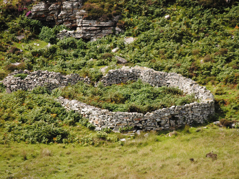 Fairy fort / earthen ringfort in LackaFairy fort / earthen ringfort · 1.8 mi
Explorer Tom Fairy fort / earthen ringfort in Lacka witnessed a love story where the guy forgot her name, she forgot his face, and…
 Enclosure in MaulnahornaEnclosure · 1.9 mi
Explorer Tom Enclosure in Maulnahorna has a weird internal wall that nobody agrees on. It’s sick of people asking if it’s from the…
 Fairy fort / earthen ringfort in MaulnahornaFairy fort / earthen ringfort · 1.9 mi
Explorer Tom Fairy fort / earthen ringfort in Maulnahorna sits in boggy pasture and complains about the drainage to the council. The…
 Ring Of Kerry Golf ClubGolf course · 2.0 mi
 BoughilMountain / peak · 2.2 mi
Explorer Tom Boughil in County Kerry hosted a fake royal visit that nobody can disprove because everyone was too busy eating pies.…
 Dunkerron CastleCastle · 2.4 mi
Explorer Tom Dunkerron Castle near Kenmare has four storeys and more changes of owner than I have excuses for being late. Its tower…
 Castle (in Ruins)Castle, tower house · 2.4 mi
Explorer Tom Castle in Dunkerron was home to the O'Sullivan Mores, but now it’s officially gone or destroyed. You can take a…
 Cnoc na gCapallMountain / peak · 2.6 mi
Explorer Tom Cnoc na gCapall in Kerry smells like old hay and regret according to my nose, which is probably wrong but I’m sticking…
 Finnihy BridgeBridge · 3.4 mi
Explorer Tom Finnihy Bridge has been feuding with the next village over something daft, probably about whose side of the river is…
 Poor Clare's ConventConvent/nunnery · 3.4 mi
Explorer Tom Poor Clare's Convent would absolutely win a county fair with that Gothic spirelet and stepped buttresses. It’s been…
 The Lodge WoodWood · 3.6 mi
Explorer Tom The Lodge Wood in County Kerry is refusing to fall down despite looking like it’s one strong breeze away from total…
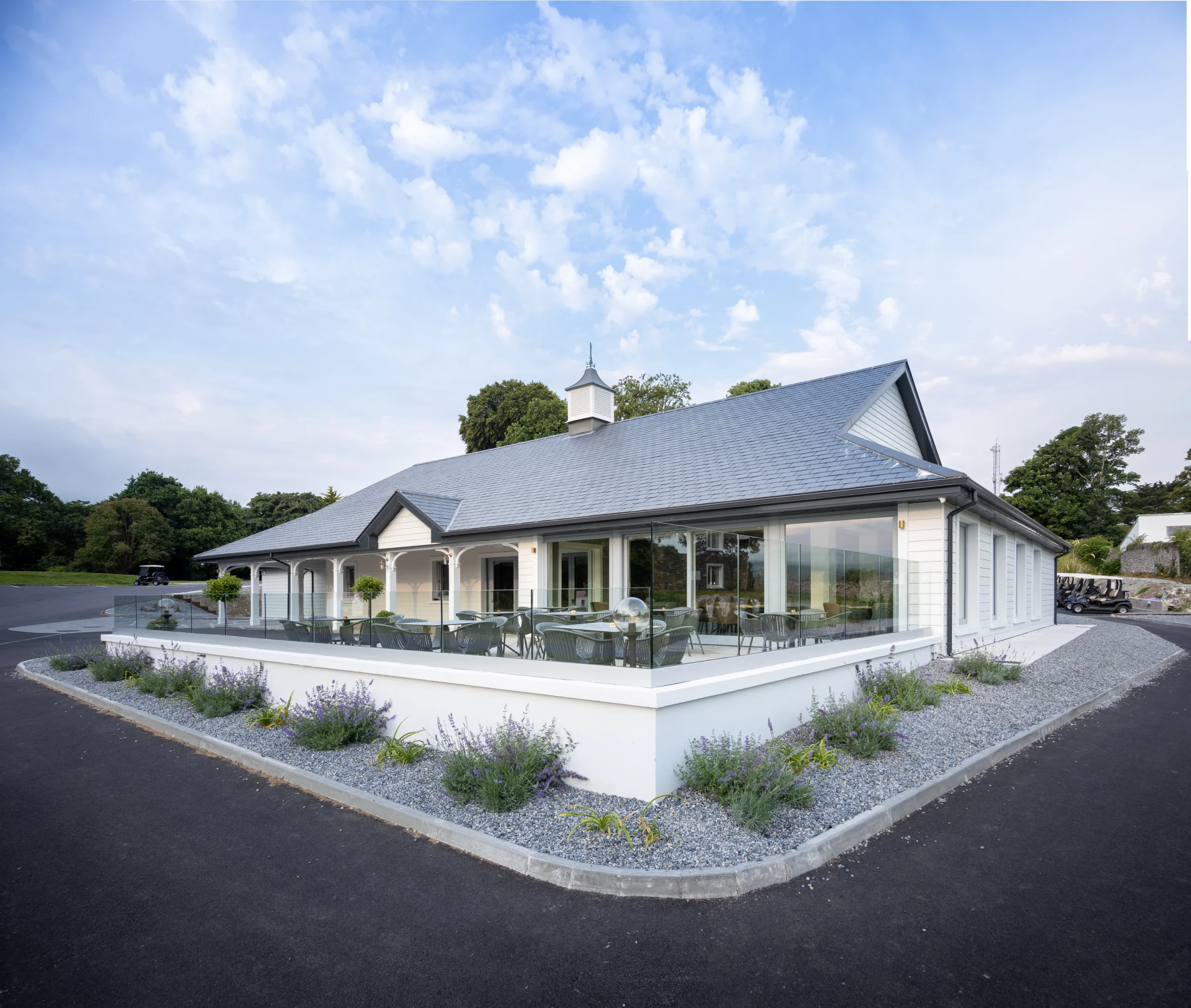 Kenmare Golf ClubGolf course · 3.7 mi
More mountains and hills in County Kerry · All of County Kerry

What do you know about this place?Tap to add a comment or ask a question